About tides-planner-ui
tides-planner-ui (Package Name: com.imray.tides.planner) is developed by FB Imray, Laurie, Norie and Wilson GmbH and the latest version of Tides Planner 5.0.9 was updated on October 16, 2026. Tides Planner is in the category of Maps & Navigation. You can check all apps from the developer of Tides Planner and find 200 alternative apps to Tides Planner on Android. Currently this app is for free. This app can be downloaded on Android 7.1+ on APKFab or Google Play. All APK/XAPK files on APKFab.com are original and 100% safe with fast download.
Essential TIDES tool for sailors, divers, canoeists, fishermen, surfers, swimmers, photographers and anyone involved with sport or leisure at the seaside. At the push of a button Tides Planner allows you to see tides for 8,000+ WORLDWIDE locations. NO CONNECTION REQUIRED as the app has its own database.
One tap to tides for your favourites. Advanced users can take advantage of extensive tools to calculate time windows for entering/leaving and clearing depths.
FEATURES
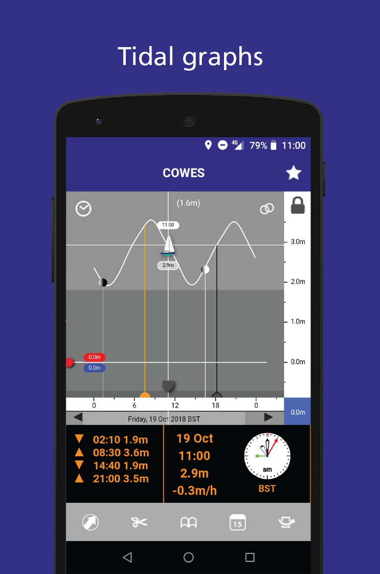
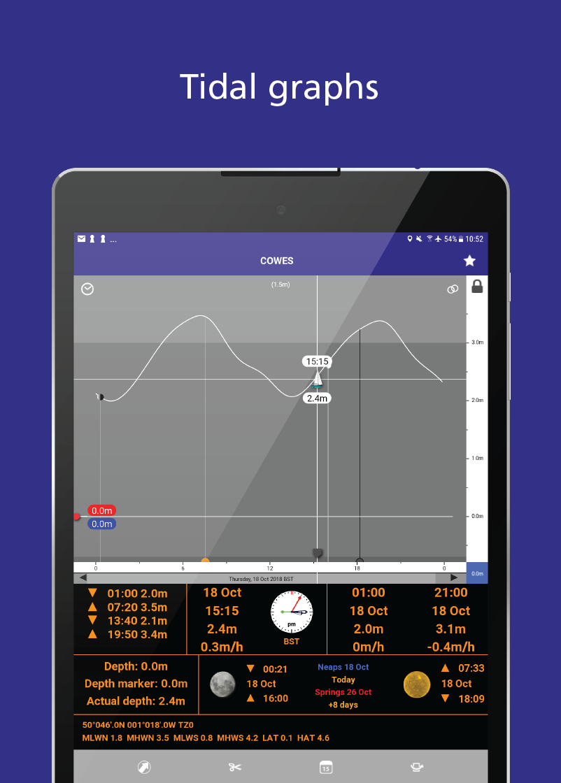
- Tidal graphs
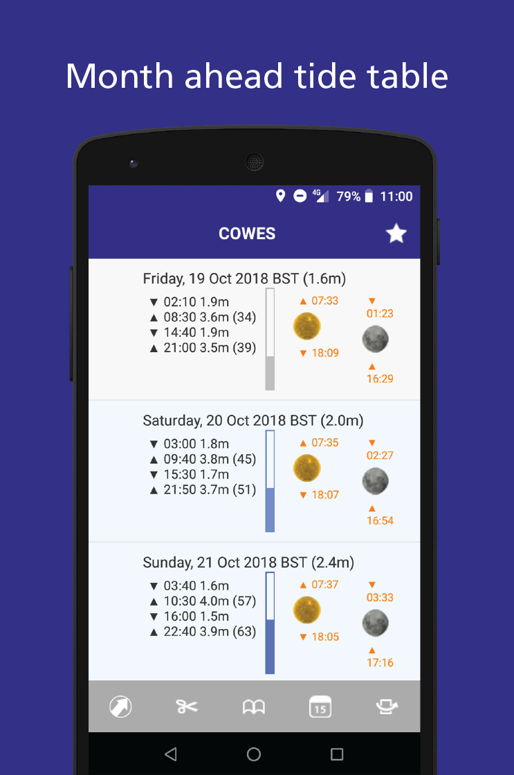
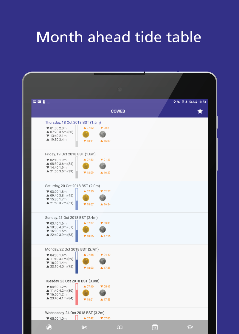
- Week ahead tide table
- Minimum/maximum depths
- Chart depth/actual depth
- Standard port information
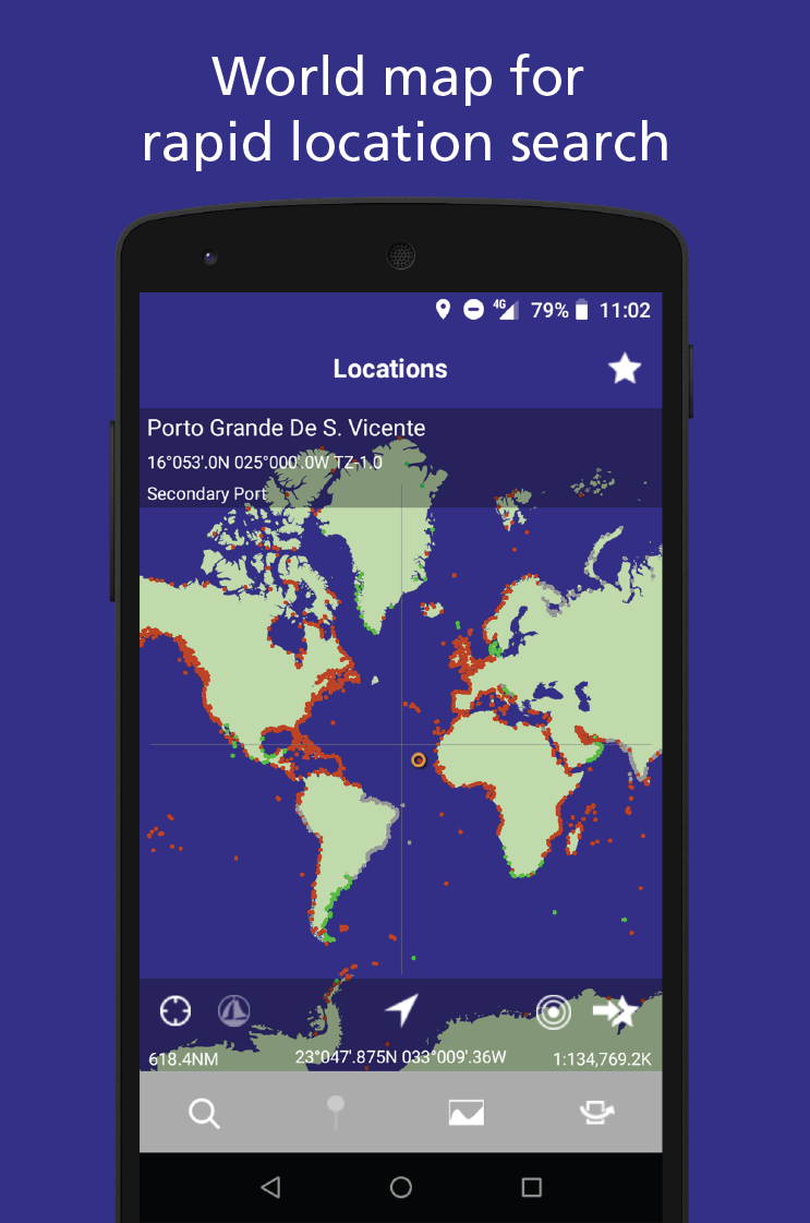
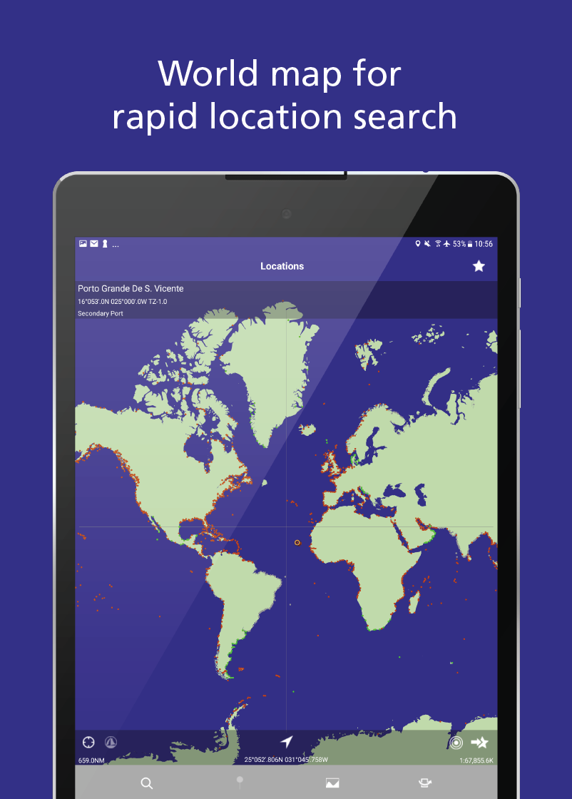
- World map for rapid location search
- Search by name
- Time of sunrise/sunset, dawn/twilight
- Moon phases, rise/set
- Date of spring/neap tides
- Notepad and copy/paste + email
- Favourites and recents
- Scrolling scales
- Coefficients (France)
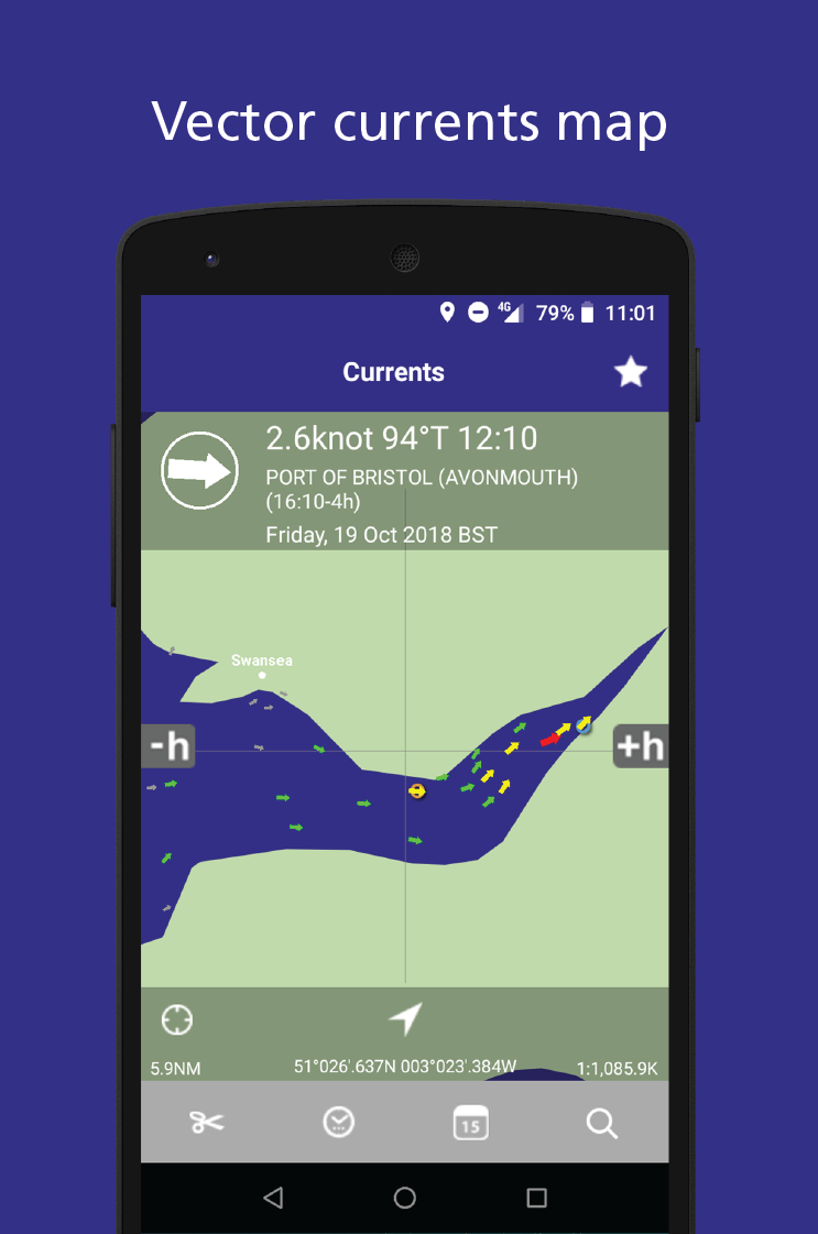
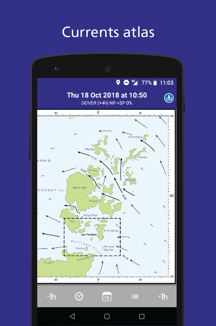
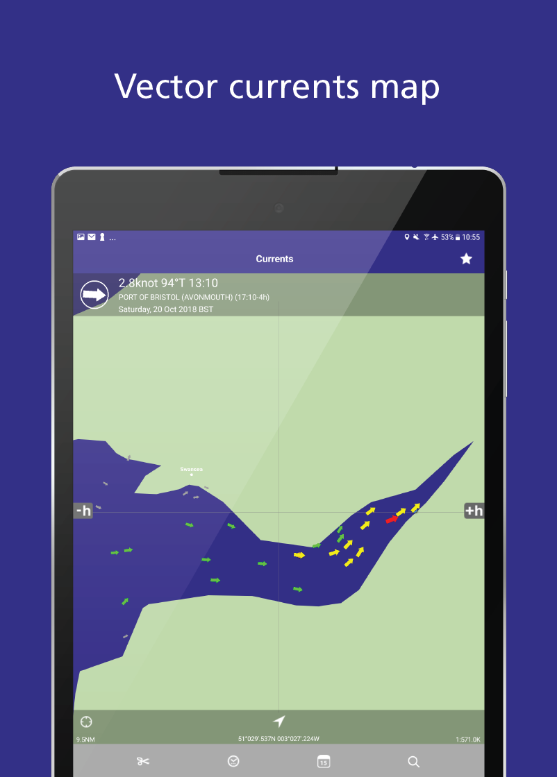
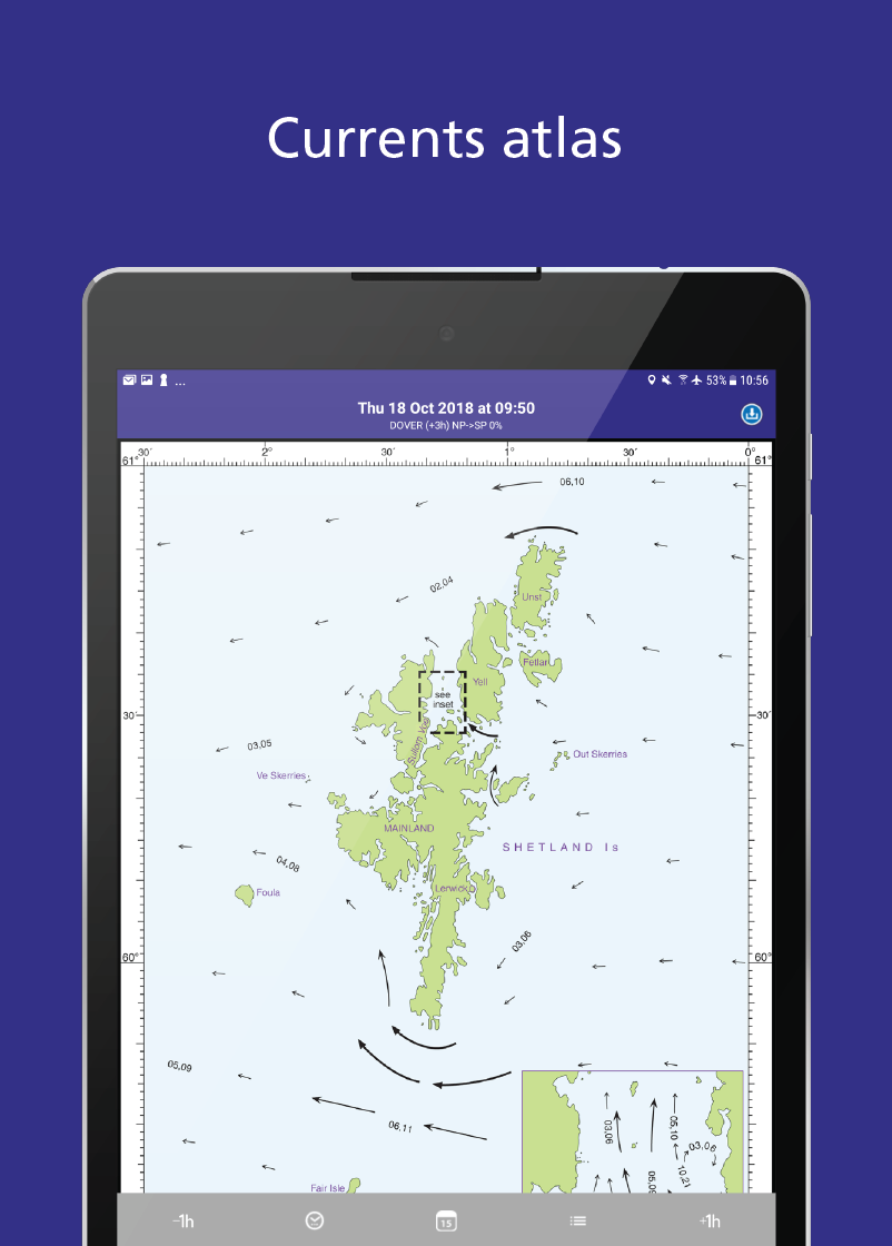
- Currents (UK, Ireland, North Sea, Netherlands and parts of the German coast)
GEOGRAPHIC COVERAGE
Worldwide coverage. Some countries have time limits from the national Hydrographic Office.
TIME COVERAGE
The app gives access to all its features, but the free initial download is limited to tides for one day. To get future predictions use the Extensions within the app (In App purchase):
- Year on year: use the extensions within the app (In App purchases) to enable future predictions.
- In certain countries get a Hydrographic Licence to remove restrictions.
HYDROGRAPHIC OFFICE LICENCES
During a valid year:
- Italy, USA, Canada (main ports), Australia, New Zealand, Japan and other countries: ANY DAY in the year.
- Denmark, Spain, Portugal, South Africa, Oman, Argentina: SEVEN DAYS at a time.
The following can be extended with a Hydrographic Office Licence to remove country restrictions:
- UK, Ireland, Germany and all UKHO ports: change from seven days to ANY DAY.
- Netherlands: change from seven days to ANY DAY.
- Belgium: change from seven days to ANY DAY.
- France and SHOM ports: from one day to ANY DAY.
Each Hydrographic Office Licence is ONLY PURCHASED ONCE and applies to all Valid Years.
ABOUT US
Imray: publishers of nautical charts, books and apps. Look out for other applications in the Marine Navigation Series from Imray.
Follow us on Twitter: http://twitter.com/imray_charts
Facebook/Imray-Laurie-Norie-Wilson-Ltd-304115312941493
LANGUAGES
English, French, German, Italian, Spanish and Japanese
ABOUT PREDICTIONS
Predictions are based on the harmonic method, using constants from the Hydro offices (UKHO, SHOM, NOAA, BOM, CHS etc). There are differences between the app predictions and the official Hydro office tide tables, as these are based on large numbers of constants that are not made publicly available. The Hydro offices consider the harmonic methods used in this product appropriate for navigation.
Always consult tidal curves and take into account local weather (pressure and wind) and swell conditions, which can have a very significant effect on sea water levels.
tides-planner-ui 5.0.9 Update
*Fixed: choosing a year in the Tidal Atlas calendar now opens that year's dates instead of doing nothing;
*Improved: the Tidal Atlas calendar lists only the years you hold a licence for, newest first, the same as the tides and currents;
Read More