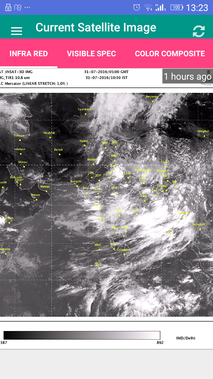
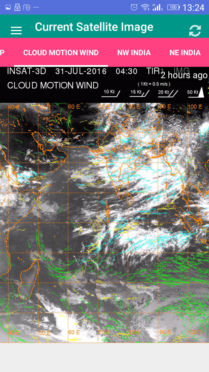
Satellite Image India
7.5 19
v1.0 by YellowCup


Requires Android: Android 4.0+
Screen DPI: 160-640dpi
SHA1: b52303e7c393e48aa464fa9c300862374ca69912
Size: 4.65 MB
Package Name:
Update Date:
2016-07-31
Latest Version:
1.0
Need Update:
Requirements:
Android 4.0+
Report:
All Hindi News Hindi Newspaper
All Hindi News and Hindi newspapers directly at your mobile screen. (Hindi News)
8.2 349
All Punjabi News Newspapers
Get all Punjabi News and Punjabi Newspapers around the world in one app.
8.5 42
Gujarati News All Newspapers
Get all online Gujarati News and Gujarati Newspapers in one app.
9.1 17
All English Newspapers India
Get all the English news published from diff sources right on your mobile screen
8.0 139
Suryanamaskar Yoga With Timer
Learn and do Surya Namaskar (Sun Salutation) Yoga and start doing with Timer.
7.6 73
Pranayama Yoga With Timer
Application for learning and doing Pranayama Yoga with Timer.
13