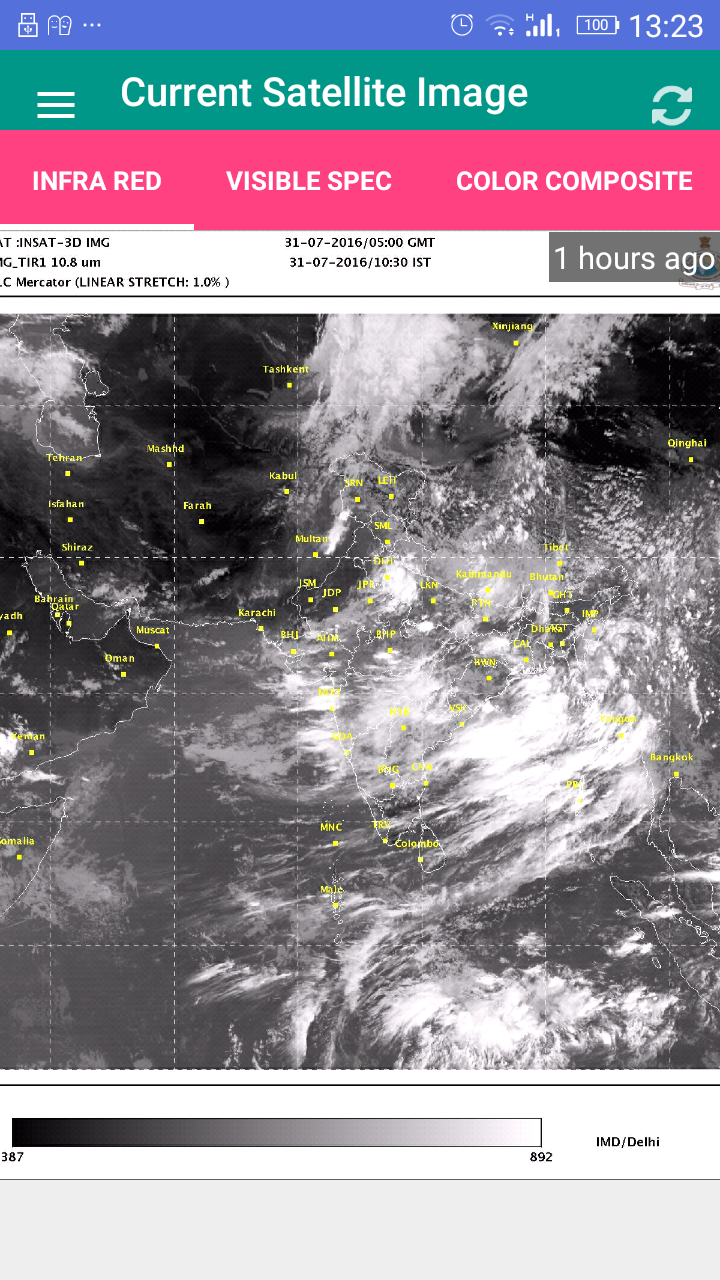
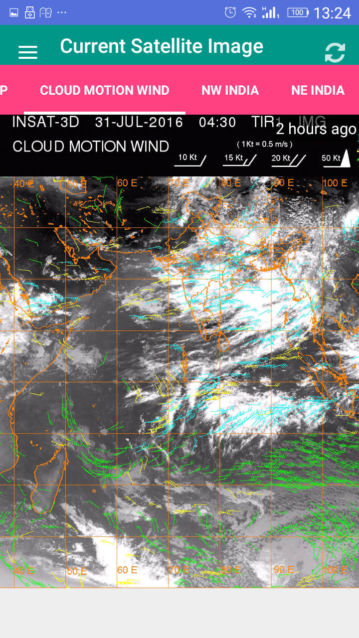
Satellite Image India
7.5 19
v1.0 by YellowCup


Requires Android: Android 4.0+
Screen DPI: 160-640dpi
SHA1: b52303e7c393e48aa464fa9c300862374ca69912
Size: 4.65 MB
更新日:
2016-07-31
最新バージョン:
1.0
バージョンアップ申請:
Android要件:
Android 4.0+
報告: