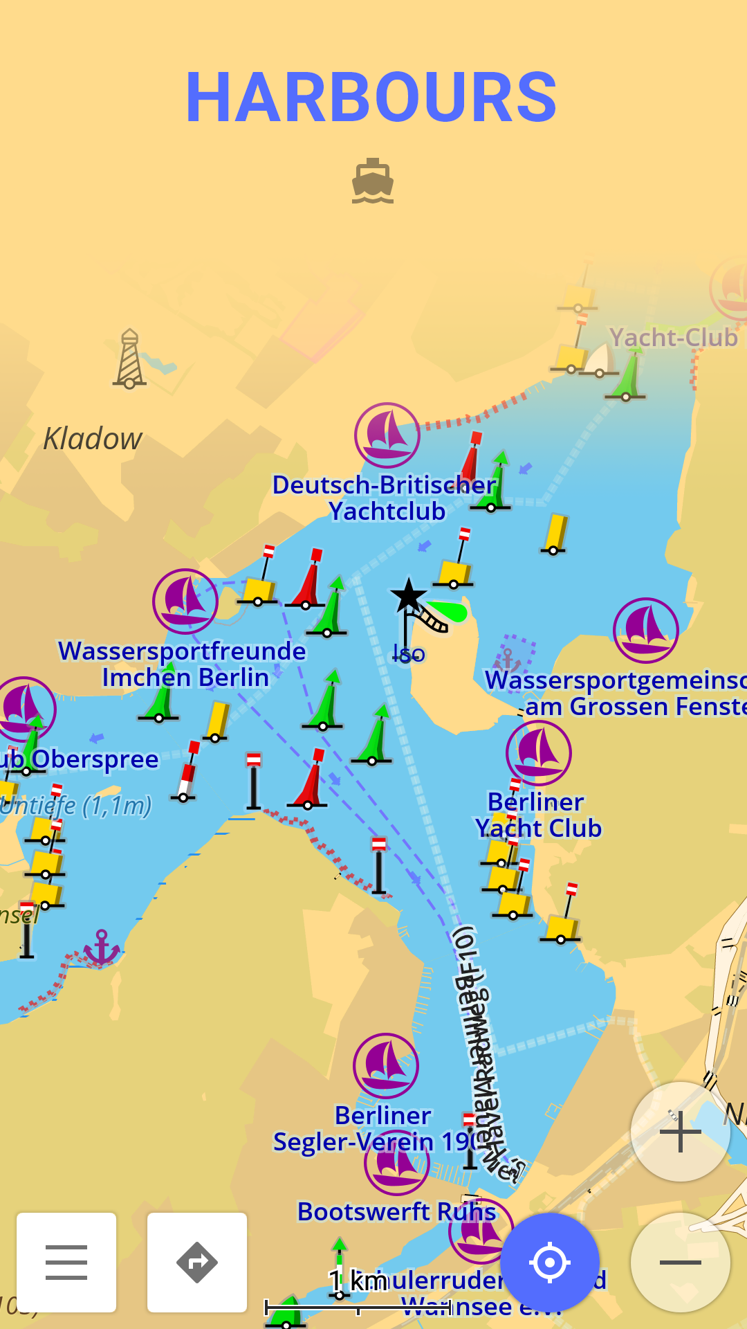
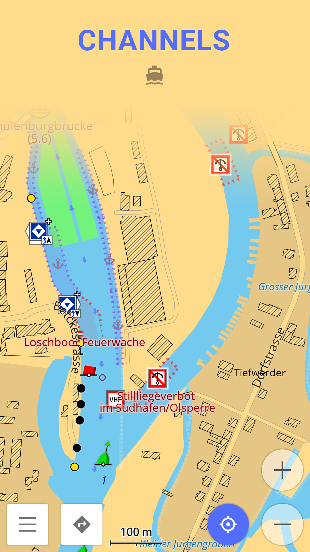
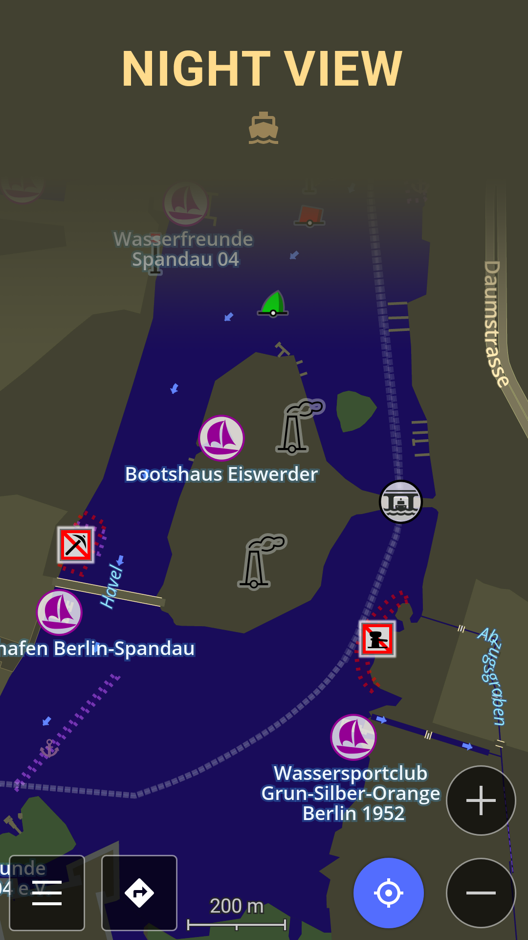
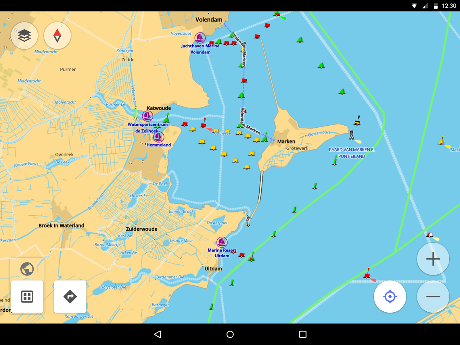
Nautical Charts — OsmAnd
6.6 146
v1.2 by OsmAnd

Requires Android: Android 7.0+
Screen DPI: 120-640dpi
SHA1: a90f3f72f4e93b95894836b6f23e11ff83637090
Size: 4.16 MB
Package Name:
Category:
Update Date:
2024-07-18
Latest Version:
1.2
Need Update:
Available on:
Requirements:
Android 7.0+
Report:
Avenza Maps: Offline Mapping
Offline maps & GPS navigation for trails, topography & surveying
9.1 9K+
NavShip - Waterway Routing
Your waterway route assistant for all European and American waterways
8.2 169
VesselFinder
Real time AIS ship tracking of marine traffic, vessel database, ship photos.
8.4 870
MarineTraffic - Ship Tracking
World’s #1 vessel tracker. Live AIS with ship ETAs, fleet & port data worldwide.
5.8 8K+
Tempest Weather
Guaranteed better local weather forecast. For use with a Tempest sensor device.
8.8 46
Marine Ways
Nautical charts, route planning, and GPS-guided marine navigation
9.2 156
OsmAnd — Maps & GPS Offline
Navigation on hikes is no longer a problem. Download the map, put notes and go!
9.0 24K+
Parking Plugin — OsmAnd
Parking plugin is a reminder for your parking position
8.6 173
Ski Map Plugin — OsmAnd
Ski Map plugin for OsmAnd Maps & Navigation
9.2 79
OsmAnd+ — Maps & GPS Offline
Navigation on hikes is no longer a problem. Download the map, put notes and go!
9.3 3K+
Contour lines plugin — OsmAnd
Contour lines & Hillshade for OsmAnd Maps (SRTM, ASTER, NASA)
7.6 180
OsmAnd API Demo
Allows you to test integration with OsmAnd and functioning of the main features.
5