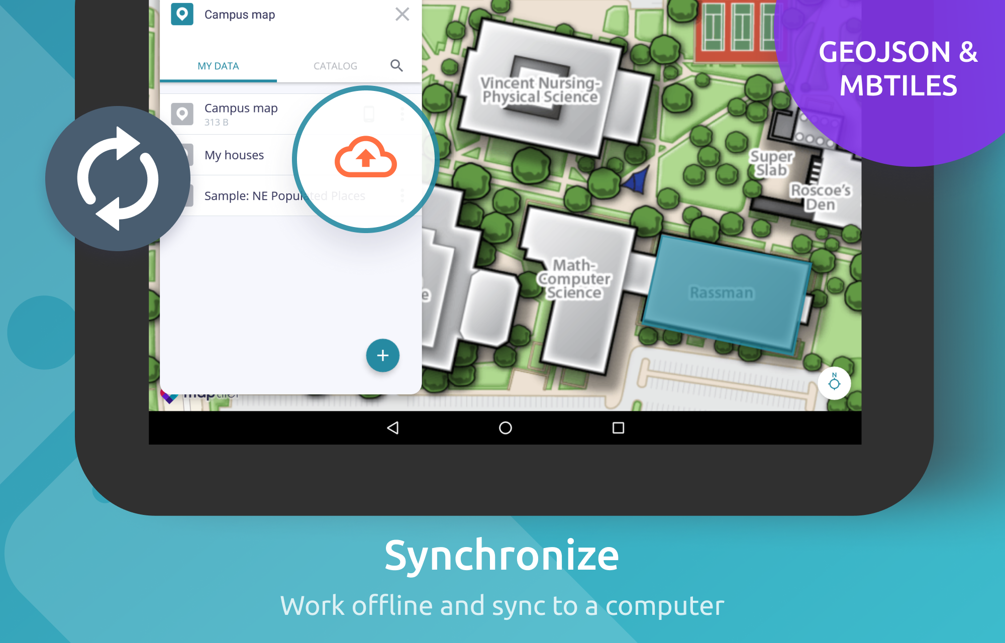
MapTiler Mobile

1.0 16

v2.1.8 by Klokan Technologies GmbH

MapTiler Mobile APK download MapTiler Mobile APK download
Download through APKFab App
Safe & Fast Install • Region Free

About MapTiler

MapTiler (Package Name: com.maptiler.geoeditor) is developed by Klokan Technologies GmbH and the latest version of MapTiler Mobile 2.1.8 was updated on April 3, 2021. MapTiler Mobile is in the category of Maps & Navigation with the feature Travel & Local. You can check all apps from the developer of MapTiler Mobile and find 200 alternative apps to MapTiler Mobile on Android. Currently this app is for free. This app can be downloaded on Android 5.0+ on APKFab or Google Play. All APK/XAPK files on APKFab.com are original and 100% safe with fast download.
See your GPS position on your own maps. Draw points, polygons and lines on the maps. Collect field data and notes related to a location, attach a photo and fill custom properties.
Display offline maps generated with MapTiler (https://www.maptiler.com).
Choose from various basemaps like street and satellite. Preview on a mobile device the map you previously designed with own colors and fonts in MapTiler Cloud.
The app supports GeoJSON and MBTiles formats and data synchronization between multiple devices and desktop computer using cloud. I it easy to share the data with other people and collaborate! Perfect for mobile data collection for GIS and surveys.
Import scanned hiking maps, PDF maps, drone aerial imagery, nautical charts for sailing and navigation with a boat or a yacht, fishing maps, aeronautical charts for flight planning by pilots, parcels and city plans and other opendata from local government. OpenStreetMap vector maps are powered by OpenMapTiles project (the successor of OSM2VectorTiles). Maps can come from existing tile servers with OGC WMTS, TileJSON or XYZ tiles from.
Supported geodata formats by MapTiler: GeoTIFF, TIFF, JPEG, ECW, SID / MrSID, NOAA KAP / BSB, DEM, OziExplorer OZI OZF2 & OZFX3, WebP, JP2, JPEG2000, GeoJP2, Erdas, Grass, Safe, Sentinel2, SRTM, NASA imagery, USGS map sheets, exports from ESRI ArcGIS, ArcSDE, etc.
The GeoJSON can be converted from / to: ESRI ShapeFile (SHP), DXF, DWG, GPX, CSV and KML.

MapTiler 2.1.8 Update

Upgrade to MapLibre 8.4.0
Read More
MapTiler Features
Related Videos
Previous Versions More
MapTiler Mobile
MapTiler Mobile 2.1.8 APK
April 8, 2021 26.79 MB

Requires Android: Android 5.0+

Architecture: arm64-v8a, armeabi-v7a, x86, x86_64

Screen DPI: 120-640dpi

SHA1: d5c01026c1db3911af878d82584fbda75b33af2e

Size: 26.79 MB

What's New:

Upgrade to MapLibre 8.4.0
MapTiler Mobile
MapTiler Mobile 2.1.8 XAPK APKs
August 18, 2021 21.19 MB
Variant
Arch
Version
DPI
arm64-v8a
Android 5.0+
160-640dpi
armeabi-v7a
Android 5.0+
160-640dpi
MapTiler Mobile
MapTiler Mobile 2.1.6 APK
January 8, 2021 26.81 MB

Requires Android: Android 5.0+

Architecture: arm64-v8a, armeabi-v7a, x86, x86_64

Screen DPI: 120-640dpi

SHA1: 492c411a2bf9b48a86c1702521eacebab13f8859

Size: 26.81 MB

What's New:

Migrated to maplibre native library and fixing error which caused raster mbtiles stored on the device were not displayed.
MapTiler Mobile
MapTiler Mobile 2.1.5 APK
December 19, 2020 26.79 MB

Requires Android: Android 5.0+

Architecture: arm64-v8a, armeabi-v7a, x86, x86_64

Screen DPI: 120-640dpi

SHA1: 65ff7f75eec44a725add35a9641438e666c04c61

Size: 26.79 MB

What's New:

Bug fixes
More Information

Package Name:

com.maptiler.geoeditor

Update Date:

Latest Version:

2.1.8

Need Update:

Submit latest version

Requirements:

Android 5.0+