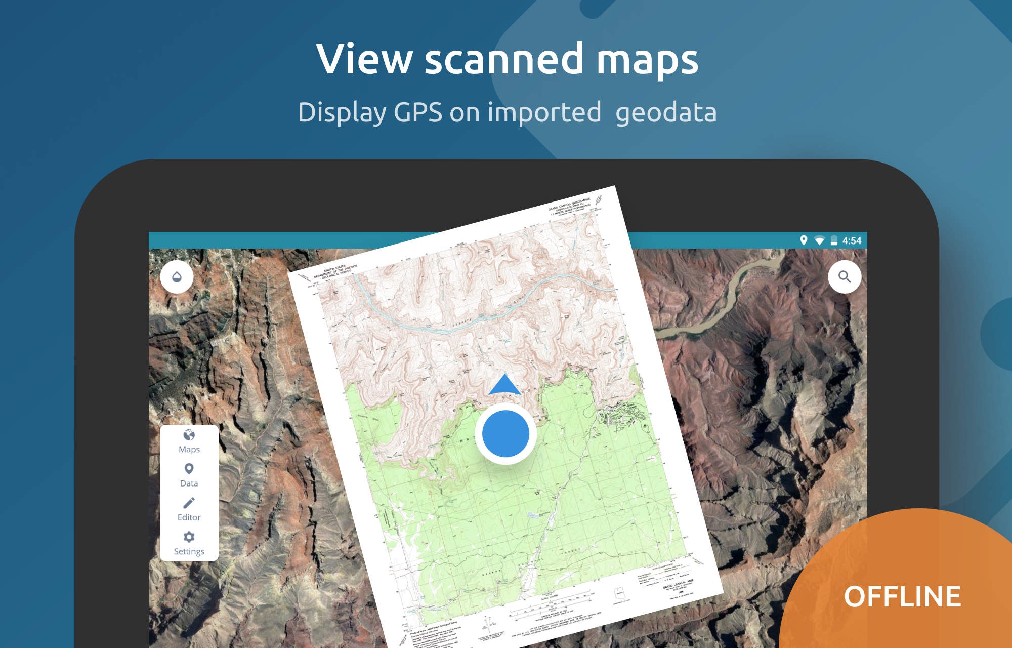
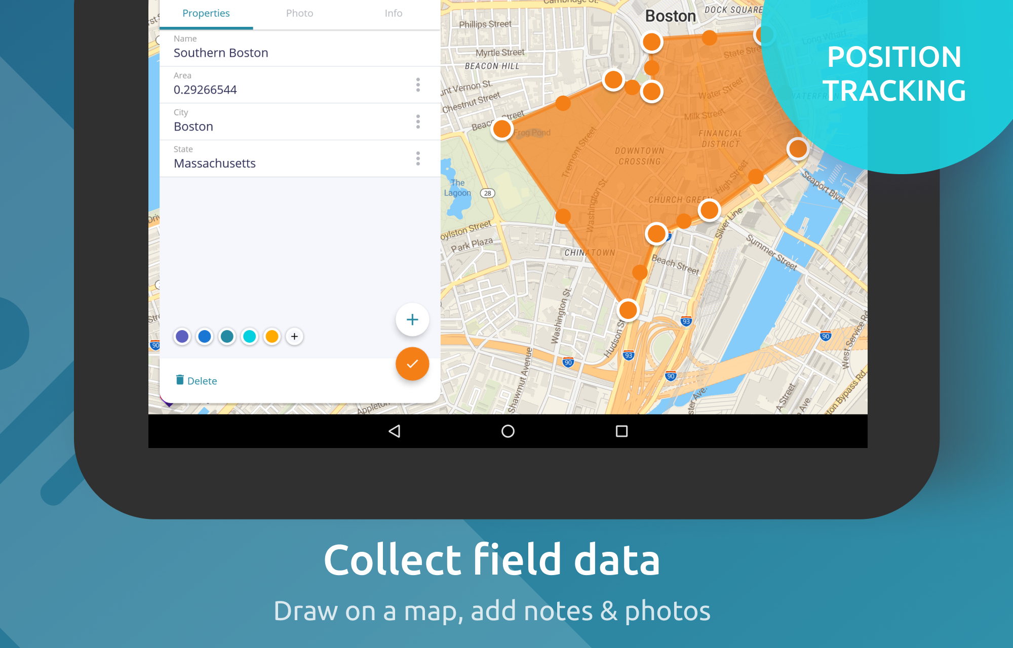
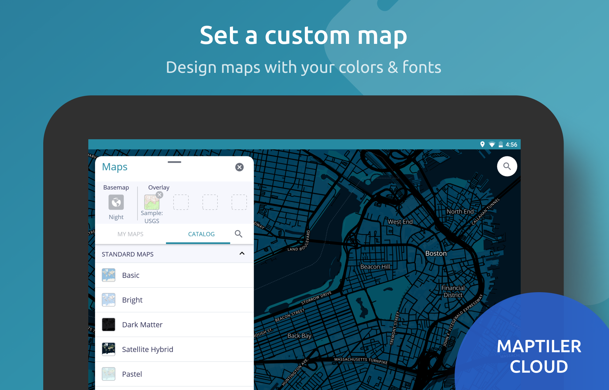
MapTiler Mobile
1.0 16
v2.1.8 por Klokan Technologies GmbH
1.0 16
v2.1.8 por Klokan Technologies GmbH


Requires Android: Android 5.0+
Architecture: arm64-v8a, armeabi-v7a, x86, x86_64
Screen DPI: 120-640dpi
SHA1: d5c01026c1db3911af878d82584fbda75b33af2e
Size: 26.79 MB
What's New:
Requires Android: Android 5.0+
Architecture: arm64-v8a, armeabi-v7a, x86, x86_64
Screen DPI: 120-640dpi
SHA1: 492c411a2bf9b48a86c1702521eacebab13f8859
Size: 26.81 MB
What's New:
Requires Android: Android 5.0+
Architecture: arm64-v8a, armeabi-v7a, x86, x86_64
Screen DPI: 120-640dpi
SHA1: 65ff7f75eec44a725add35a9641438e666c04c61
Size: 26.79 MB
What's New:
Nome do Pacote:
Categoria:
Data de Atualização:
2021-04-03
Última Versão:
2.1.8
Solicite Atualização:
Requisitos:
Android 5.0+
Denunciar:
inDrive: Transporte e Entregas
Mais que táxi: Viagens e entregas de moto ou carro para passageiros e motoristas
9.4 1M+
Bolt: Pede uma viagem 24/7
Viagens rápidas e económicas
9.6 750K+
Waze – GPS e Trânsito ao vivo
Navegue por GPS e receba alertas de segurança e informações sobre o trânsito.
8.7 684K+
Rapido: Book Bike-Taxi & Auto
Viaje com facilidade e preços acessíveis com um Rapido Bike-Taxi ou Auto, a qualquer hora.
9.6 348K+
Ola: Book Cab, Auto, Bike Taxi
Reserva online fácil e rápida de táxis, tuk-tuks e mototáxis. Envie encomendas.
9.6 350K+
Yango — pede uma viagem na app
Request an affordable ride in Luanda and Maputo with the Yango aplicativo
9.7 244K+