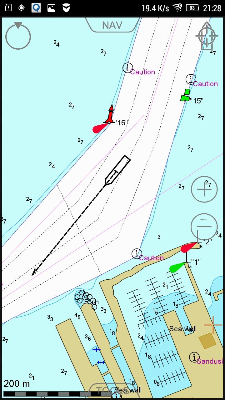
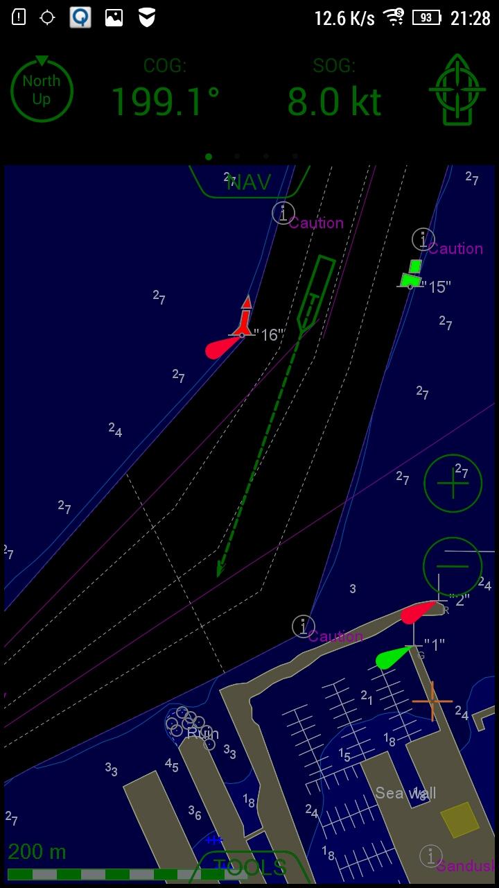
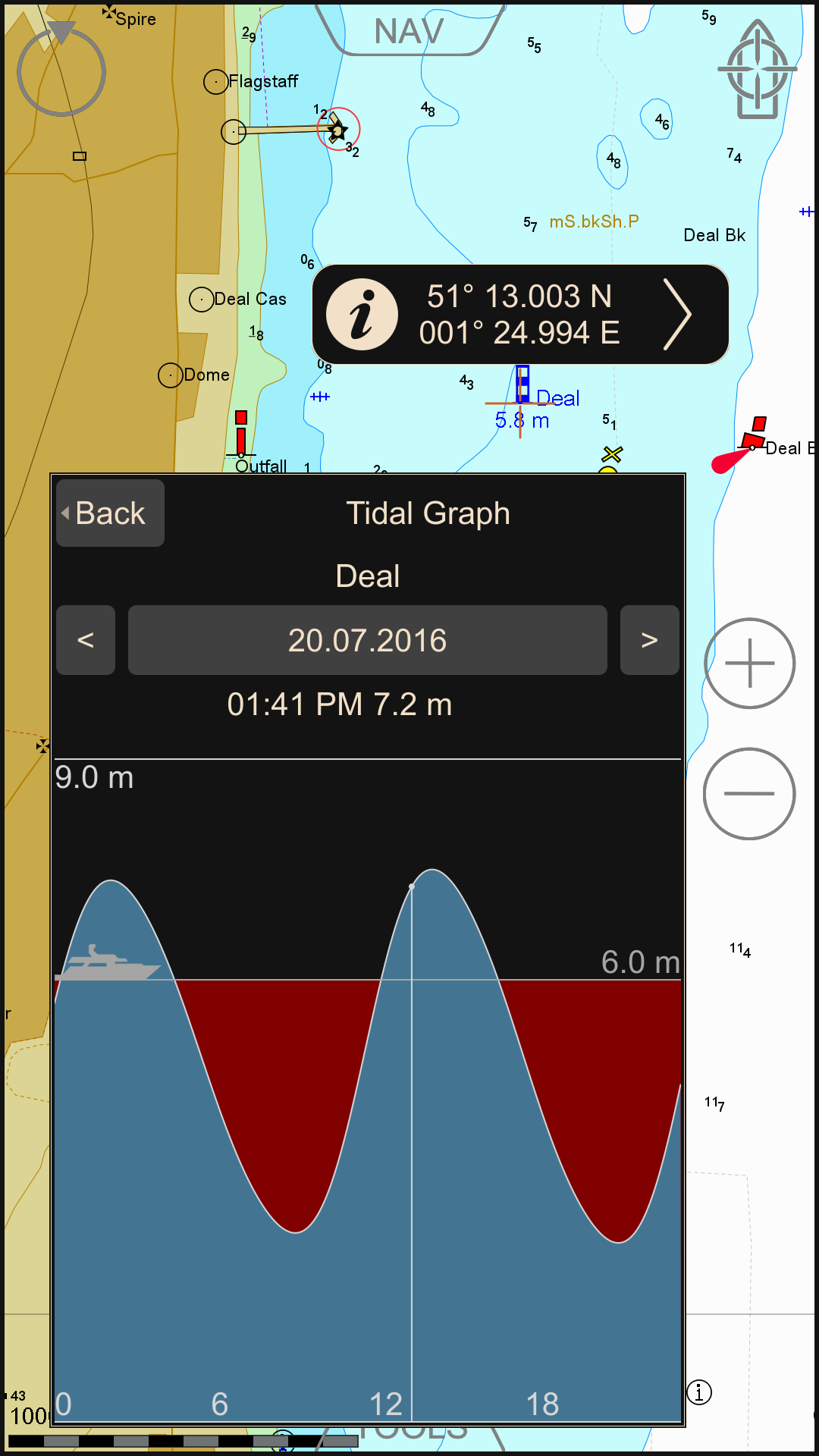
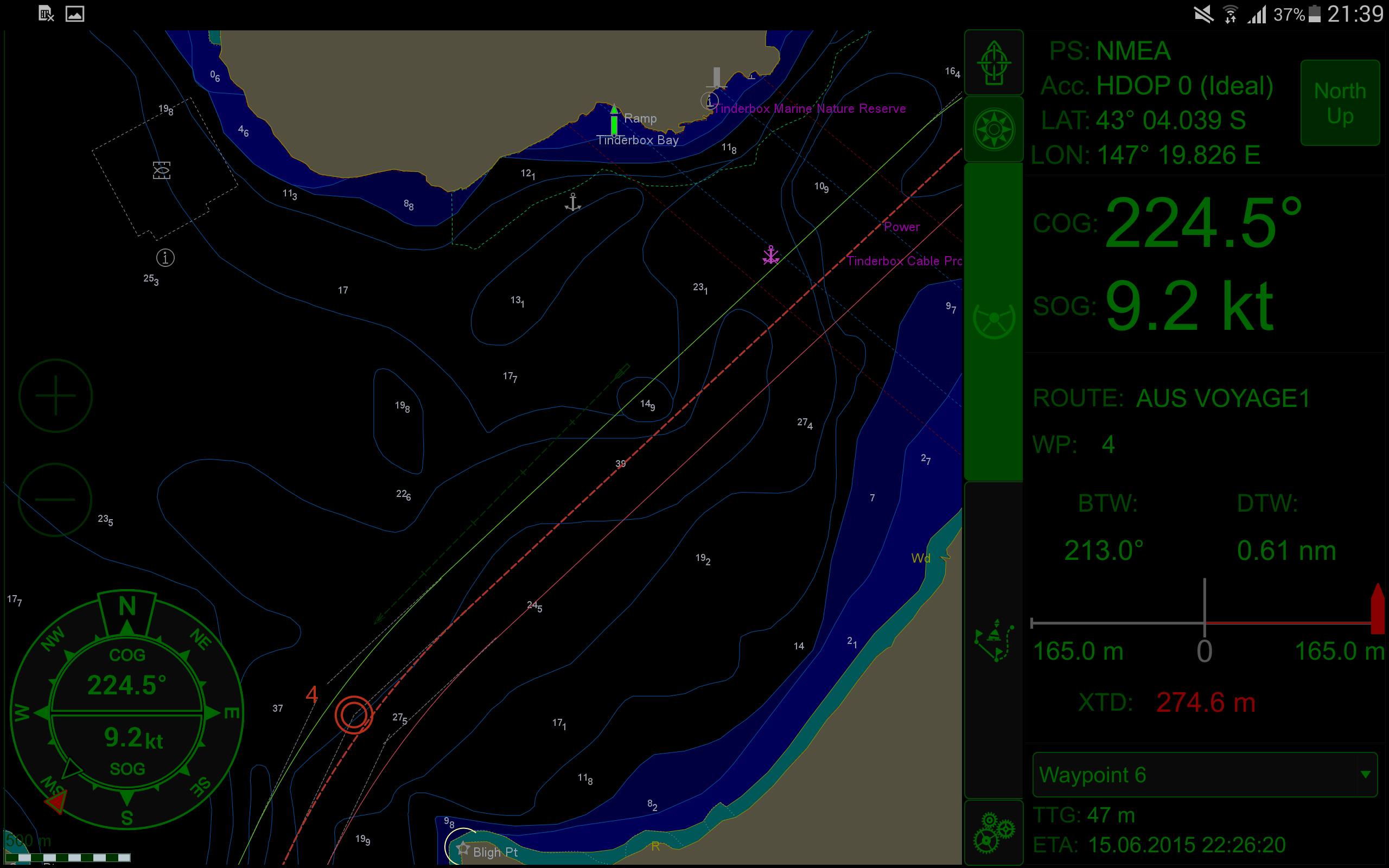
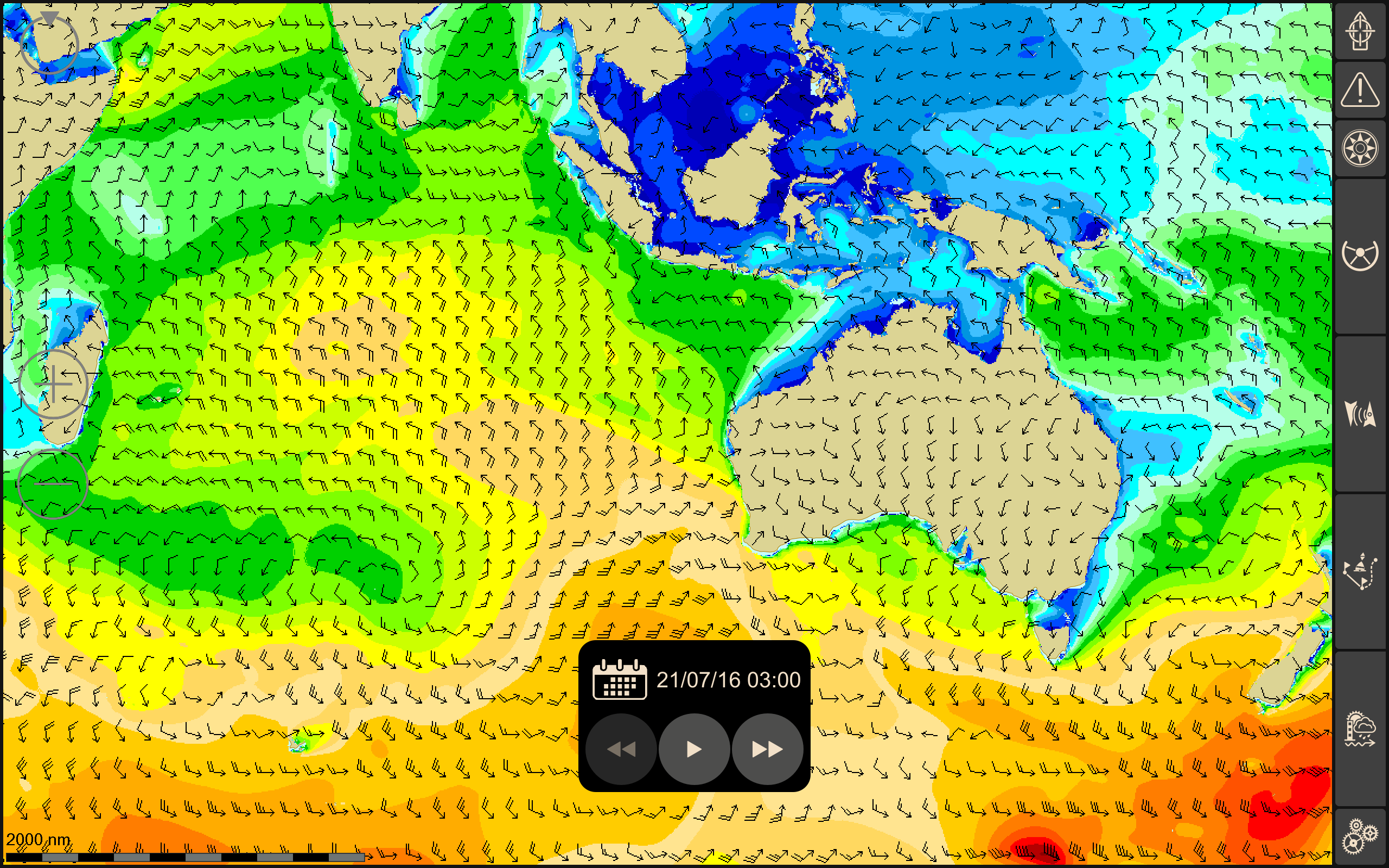
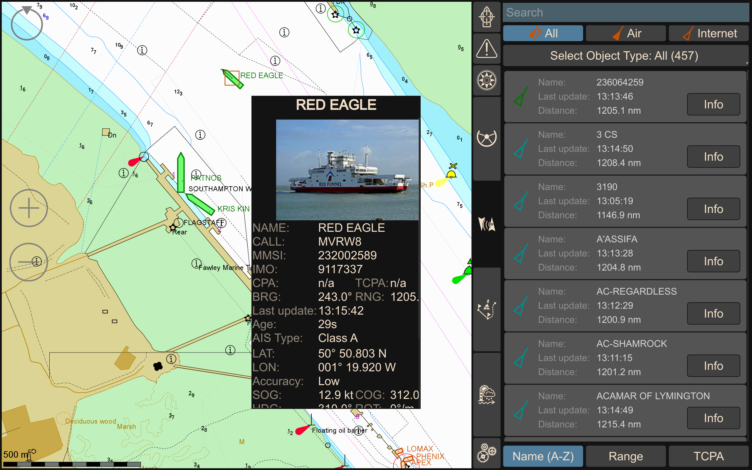
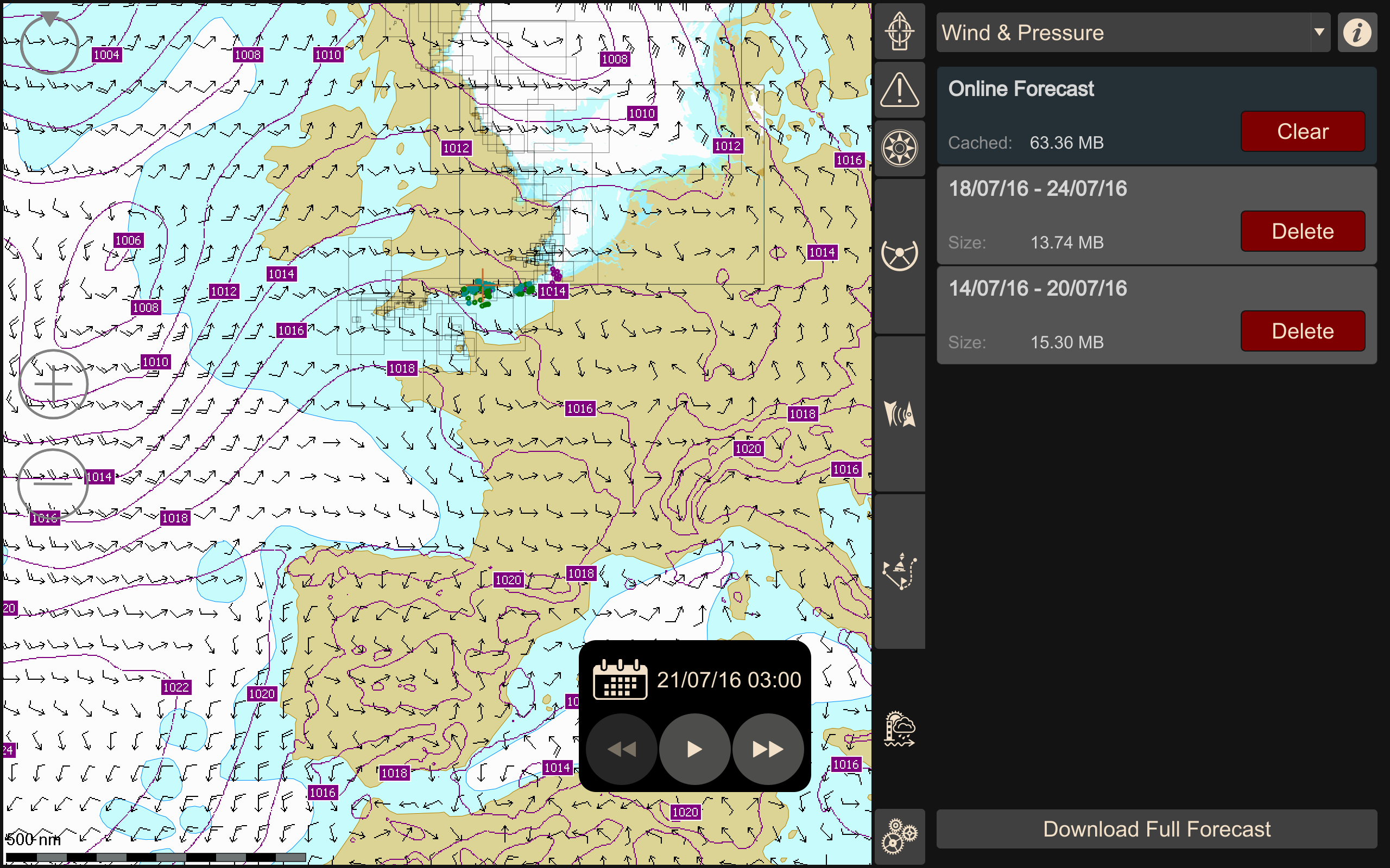
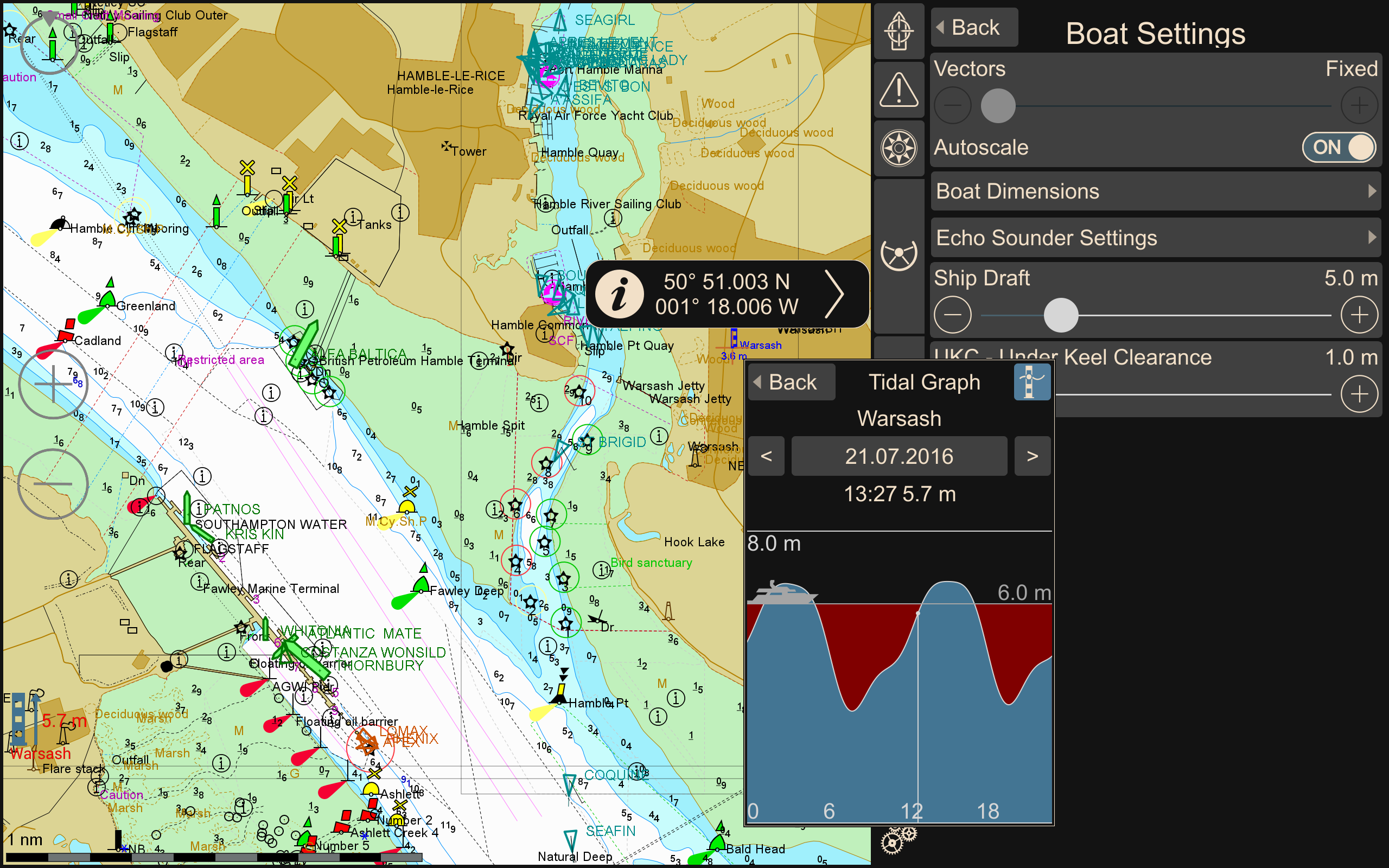
Wärtsilä iSailor
7.4 228
v2.81 by Wärtsilä Voyage Limited
7.4 228
v2.81 by Wärtsilä Voyage Limited


Requires Android: Android 4.4+
Architecture: arm64-v8a
Screen DPI: 120-640dpi
SHA1: ed5f756336b91fd149148587d1448397d7265db6
Size: 61.07 MB
What's New:
Requires Android: Android 4.4+
Architecture: armeabi-v7a
Screen DPI: 120-640dpi
SHA1: 8017f9198a6e1b9761a92faaffc18261e4554410
Size: 56.29 MB
What's New:
Requires Android: Android 4.4+
Architecture: armeabi-v7a
Screen DPI: 120-640dpi
SHA1: 66146281e2f1c6586e8c85cc0c15a134caebf70f
Size: 59.05 MB
What's New:
Requires Android: Android 4.4+
Architecture: armeabi-v7a
Screen DPI: 120-480dpi
SHA1: 23f690ed86f6696749777d02d0ae5a97cc2bbfea
Size: 58 MB
What's New:
Package Name:
Category:
Update Date:
2020-07-13
Latest Version:
2.81
Need Update:
Requirements:
Android 4.4+
Report:
Fish Deeper - Fishing App
Find perfect fishing spots by exploring lake depth maps or using fish finder.
8.6 1K+
Enroute Flight Navigation
A flight navigation app for VFR pilots
9.1 49
Cruiser GPS Navigation
Cruiser is an offline route planning and navigation application
7.0 18
Savvy Navvy Boating Navigation
Sailing & Fishing Nautical charts. Marine Weather & Tides. Boat GPS & Depth Map
8.4 213
DONIA
The app for all sea lovers. Navigate, Anchor and Protect.
9.6 77
SailFlow: Marine Forecasts
Wind, tides, waves for sailing and boating with maps, alerts, and forecasts
9.7 150