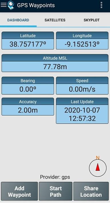
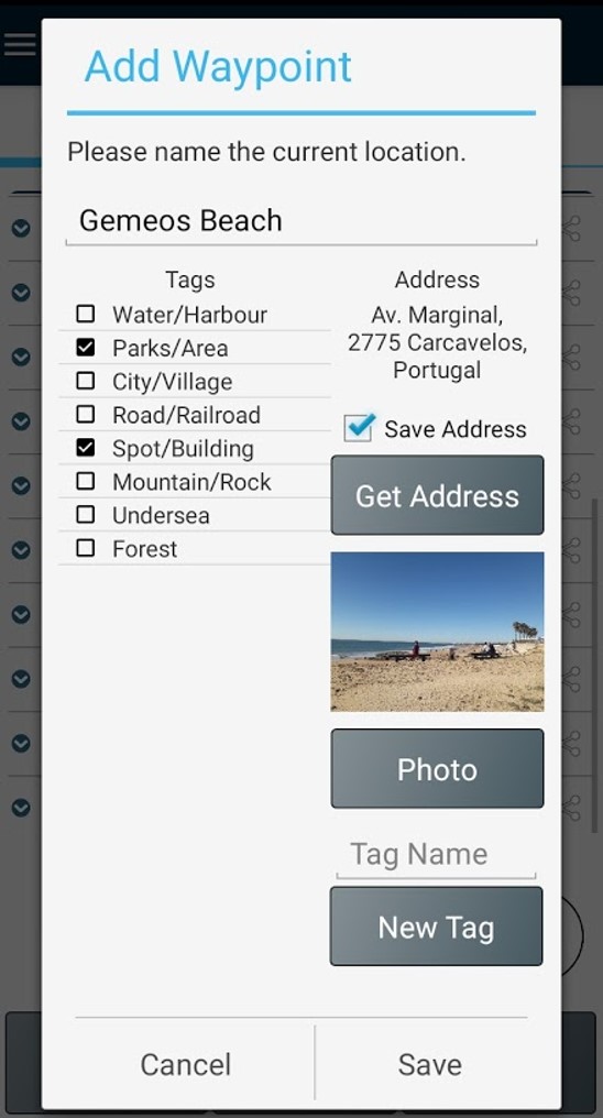
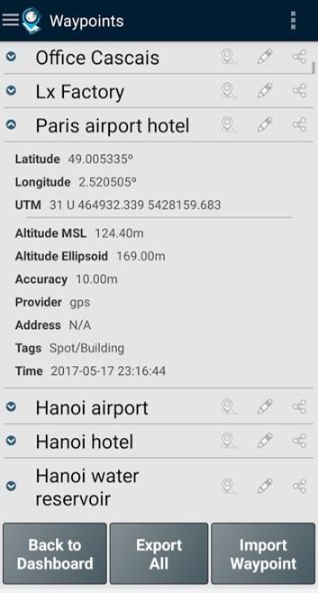
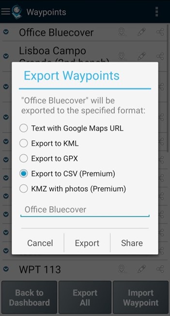
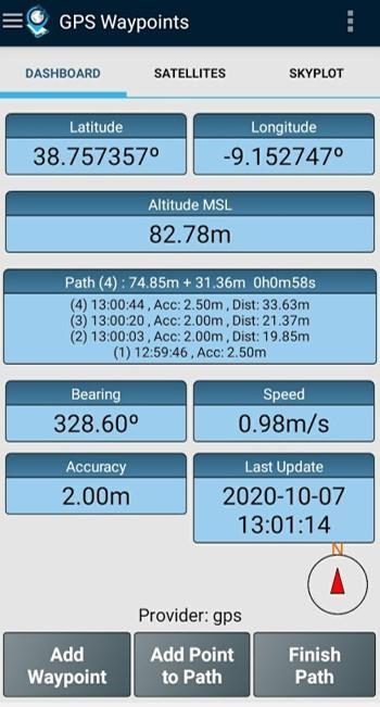
Version 3.14 - Add waypoint with GPS location averaging (long press) - Edit Points from Path - Share Paths via Geodata Map Viewer - Update and fixes for Android 15 Version 3.13 - Fixes on share Points to file and bluetooth - Show Regional Datum conversion on Waypoints and Settings (Premium) - Export Points to Geodata Viewer tool - Enterprise improvements for cooperation between users
Version 3.13 - Fixes on share Points to file and bluetooth - Show Regional Datum conversion on Waypoints and Settings (Premium) - Export Points to Geodata Viewer tool - Enterprise improvements for cooperation between users Version 3.12 - Regional Datum conversions improvements - Add Points manually on Maps - Manage Layers on Maps improvements - Shortkeys, Path kml export, photos permissions and SDK updates - Satellite image mapping request (Trial)
Version 3.12 - Regional Datum conversions improvements - Add Points manually on Maps - Manage Layers on Maps - Sevice Layers improvements (WMS) on Maps - Some fixes (shortkeys, Path kml export, photos permissions) and SDK update - Satellite image mapping request (Trial) - Share location details with GPS enterprise Version 3.11 - Export/Import Points and Paths to GeoJSON files - New coordinate format with decimal minutes (DDM) - Tags and Themes improvements
Version 3.11 - Export Points and Paths to GeoJSON files - Import Points and Paths from GeoJSON files (including multipolygon and multilinestring support) - Sort by proximity with directions - New coordinate format with decimal minutes (DDM) - Fix the descending order of the Paths sorted list - Minor fixes on Maps - Tags improvements (incluing navigation swipe) - Edit current Theme, manage local Themes, get remote Themes per sectors