SkyDive
7.5 12
v2.0 по Microjects
7.5 12
v2.0 по Microjects
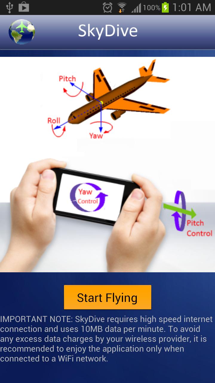
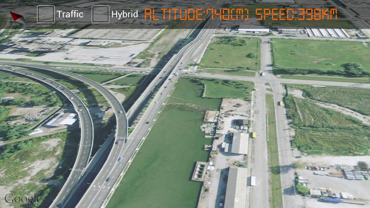
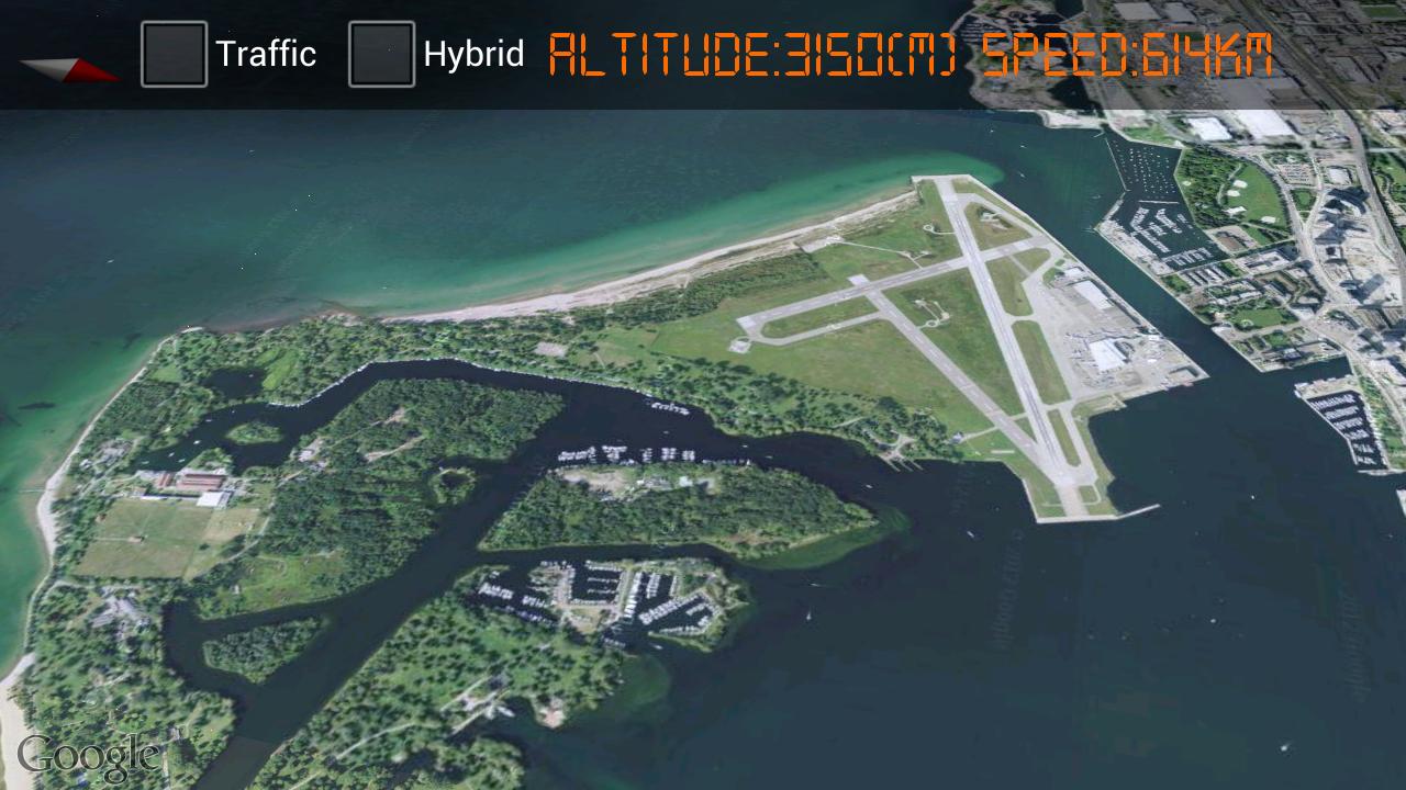
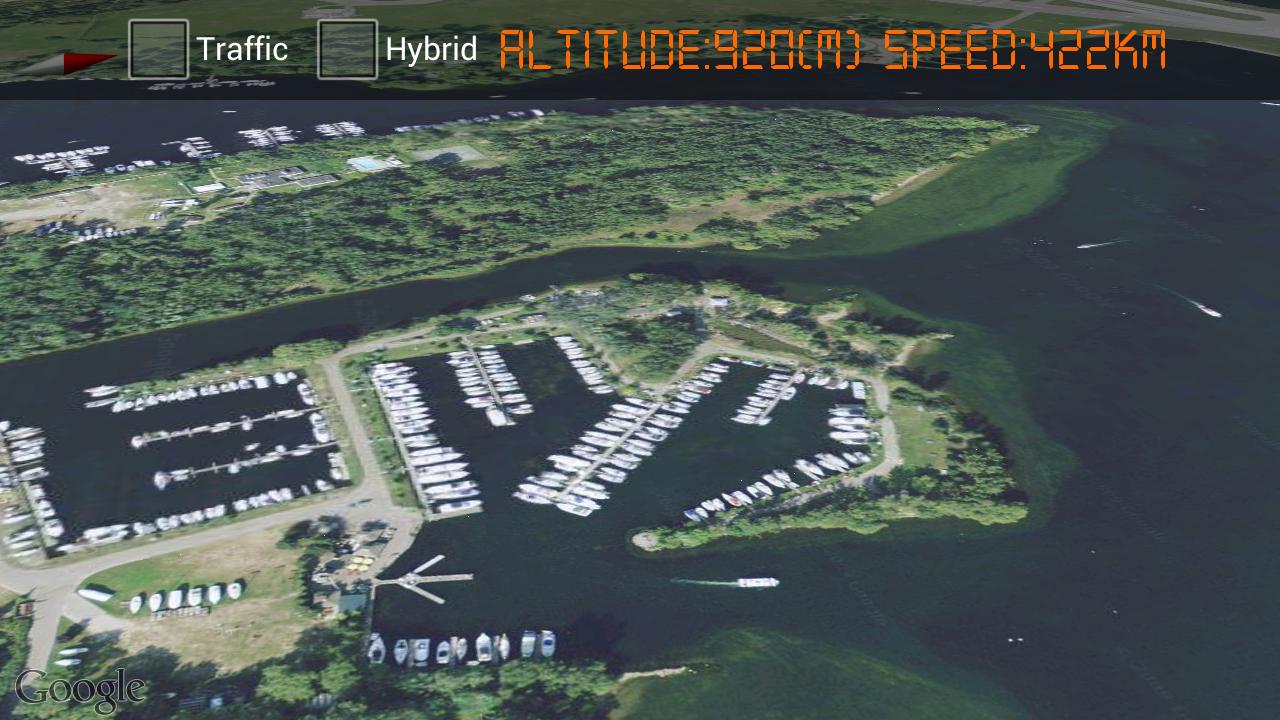
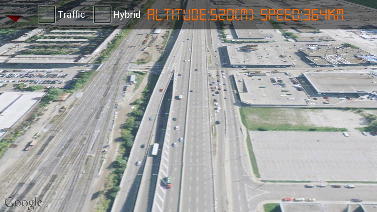
SkyDive uses smartphone built-in sensors to navigate on the Google maps satellite views. It has intuitive flight control features and provides a real experience of flying over satellite maps of your city with a perfect aerial views.
Make sure your GPS is enabled before running the app. The app will use your GPS location and will fly over your current location. If GPS is disabled, it will fly over Toronto.
Keywords: fly, sky, sky view, satellite view, maps, Smartphone, orientation sensor, tilt, yaw, pitch, roll
Requires Android: Android 2.2+
Screen DPI: 120-320dpi
SHA1: 6a376493693c862815257e5b3146b13eed542963
Size: 1.31 MB
What's New:
Имя пакета:
Категория:
Дата обновления:
2013-04-16
Последняя Версия:
2.0
Требуется обновление:
Требования:
Android 2.2+
Пожаловаться:
Телефон Google
Надежное приложение для звонков с АОН, защитой от спама и другими функциями
9.0 3M+
Clean Master - Антивирус & Очистка кэша и мусора
Оптимизация производительности с антивирусом, чище и экономии заряда батареи
9.4 3M+
Сервисы Google Play
Сервисы Google Play: обновления, безопасность, новые функции для ваших любимых приложений!
8.7 3M+
Найдите то, что вам нужно, вместе с Google
8.2 2M+
Security Master - Antivirus, VPN, AppLock, Booster
Антивирус с блокировкой приложений и бесплатным VPN(ВПН) ускоряет телефон
9.3 1M+
Gboard – Google Клавиатура
Ваше слово — ваше волшебство: Gboard — скорость, универсальность и Google интеллект в одном касании!
9.0 1M+