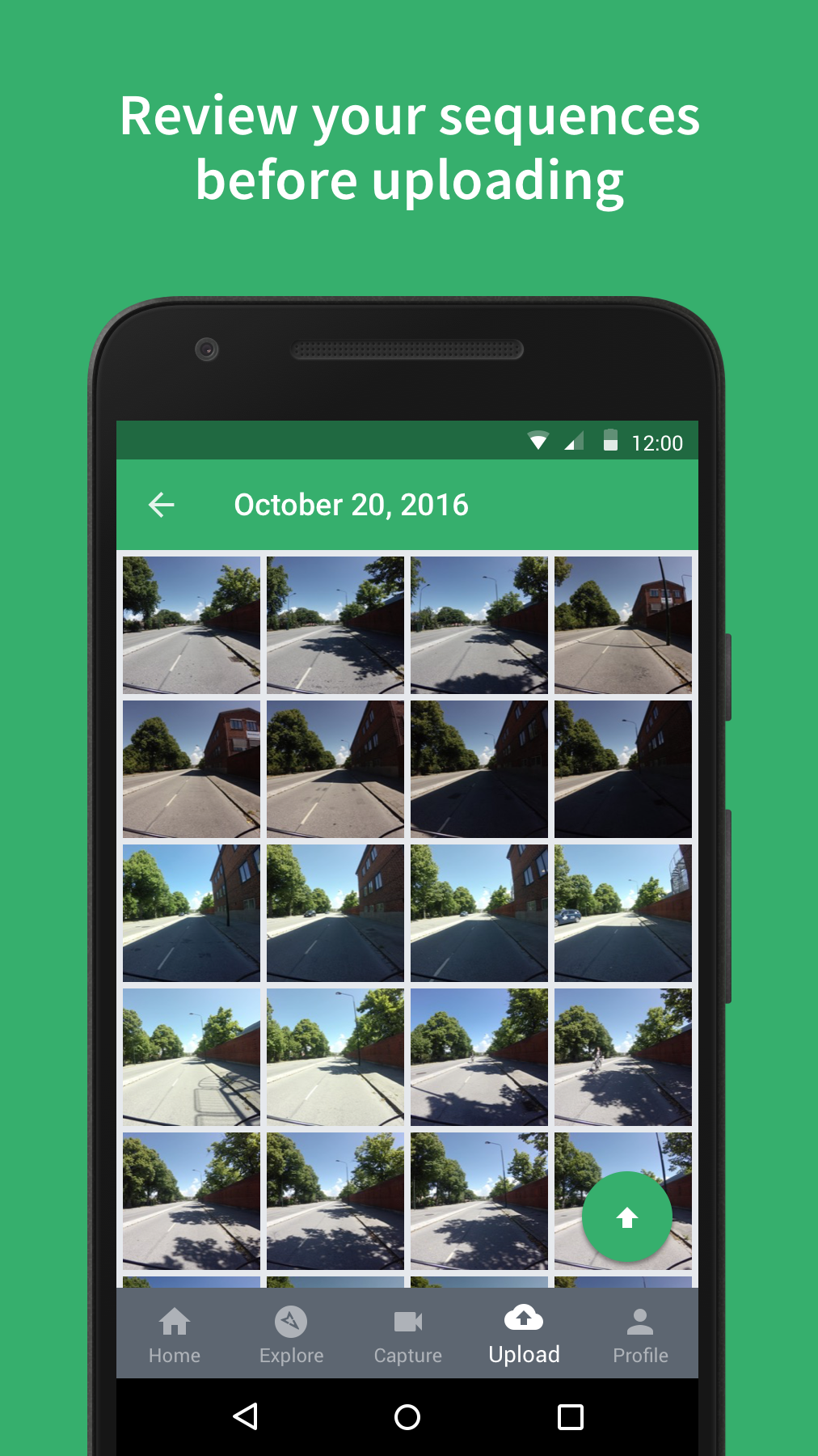
Mapillary (discontinued)
6.5 133
v3.179 by Mapillary
6.5 133
v3.179 by Mapillary


Requires Android: Android 6.0+
Architecture: arm64-v8a, armeabi-v7a, x86, x86_64
Screen DPI: 120-640dpi
SHA1: 73f23624f8fb46e0a2da3b90d5f2de197737bc3b
Size: 39.01 MB
What's New:
Requires Android: Android 6.0+
Architecture: arm64-v8a, armeabi-v7a, x86, x86_64
Screen DPI: 120-640dpi
SHA1: 651bbc522cf42fa00884257b0963b09ebbf0ed7c
Size: 39.37 MB
What's New:
Requires Android: Android 6.0+
Architecture: arm64-v8a, armeabi-v7a, x86, x86_64
Screen DPI: 120-640dpi
SHA1: 37870d524d245e29a5f9d0b22c60c4f17e2ba8e5
Size: 38.94 MB
What's New:
Requires Android: Android 6.0+
Architecture: arm64-v8a, armeabi-v7a, x86, x86_64
Screen DPI: 120-640dpi
SHA1: 00793d9ad9e17c11f091eb669f5f015ca261b59c
Size: 38.94 MB
What's New:
Package Name:
Category:
Update Date:
2021-06-04
Latest Version:
3.179
Need Update:
Requirements:
Android 6.0+
Report:
HiiKER: The Offline Hiking app
Offline hiking trails. Plan, track & share custom hiking routes using topo maps
8.8 108
UTM Geo Map
Simple Mapping & GIS Tools.
9.6 1K+
Navitel DVR Center
Application for NAVITEL dashcams with built-in Wi-fi
3.6 168