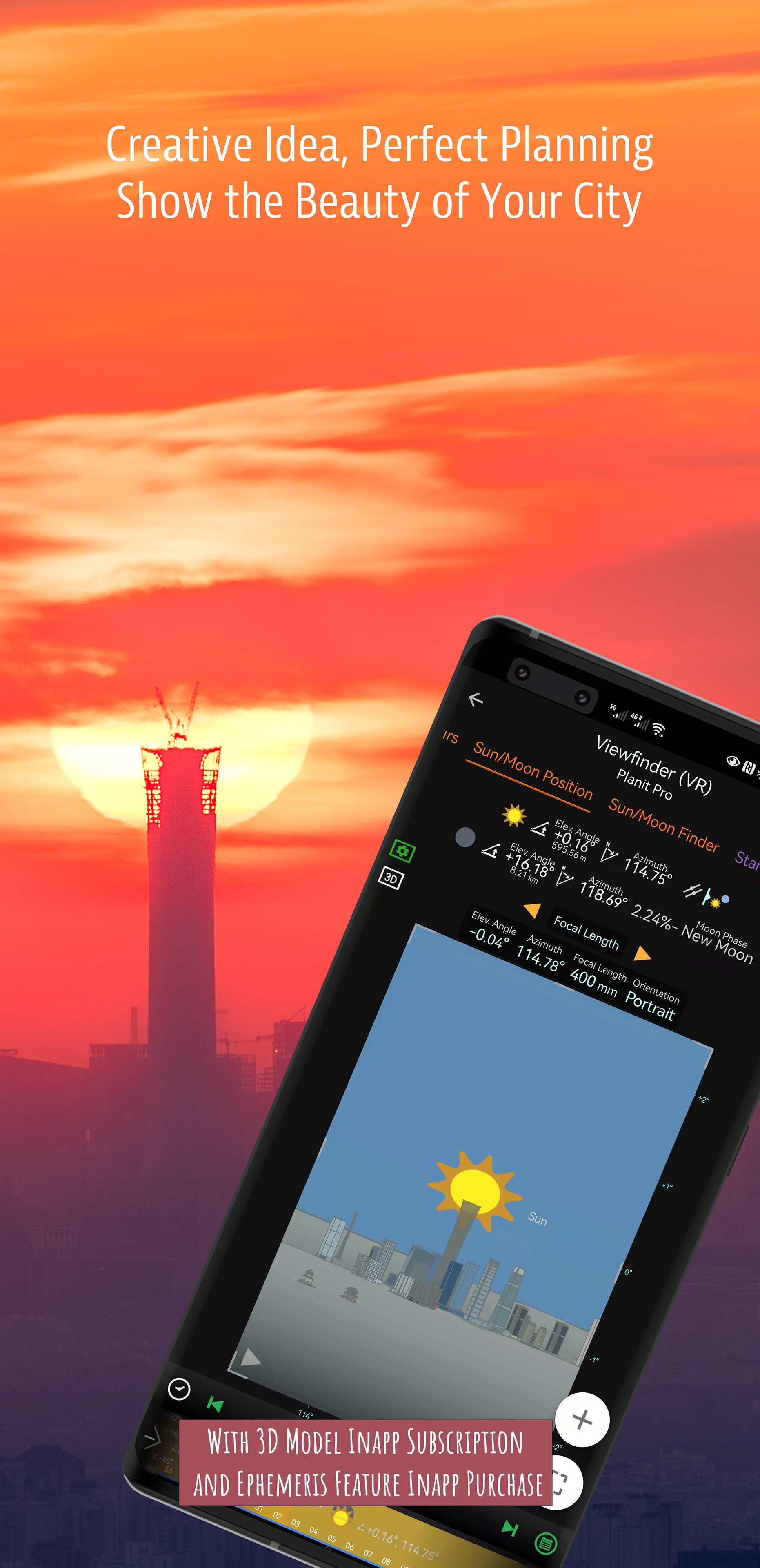
Added altitude scale to VR. Added altitude indications for atmospheric phenomena to VR. Adjusted the font width if the date and time cannot be fully displayed on the date and time panel.
Added an option to show milky way photos taken by astro-modified camera in the VR, thanks Alvin Wu (IG: @alvinwufoto) for the photos. Shows the pixel count below the subject height value, calculated based on subject height, subject distance, focal length, and sensor size, representing the actual pixel count of the subject in the captured image. Fixed the elevation cache not working. Fixed in some models the edges are not smooth.
Use different colors for different hours for the flight track on the map in the Flight Planning page. Added flight track download feature (press and hold the load track button) to the two airplane transit and flight planning pages (may not work in some countries). Added RMS for the ISS (OEM) and CSS (OEM) satellite category, a sudden spike means there is a maneuver. Menu - Version History has complete change logs.
You can see and open the task or set the event time from the Calendar page. Added a new expand/collapse button to the top left of the map to selectively hide some map overlays to reduce clutter. Load the real-time locations of the selected airplane in the alert mode as track without downloading kml, then you can adjust the time to see future transit locations if another airplane pass the same route. Menu - Version History has complete change logs.