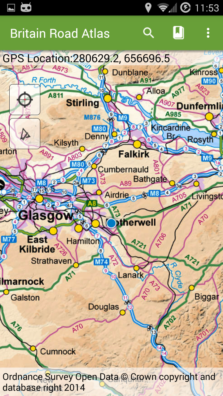
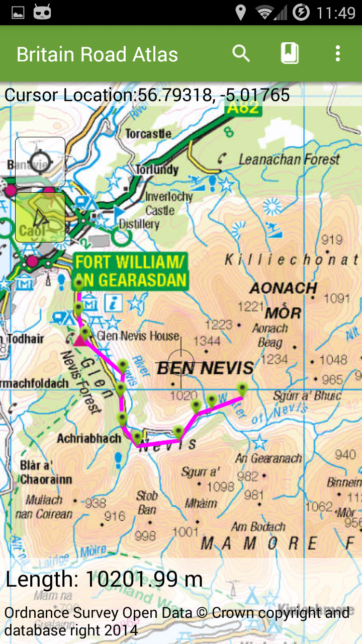
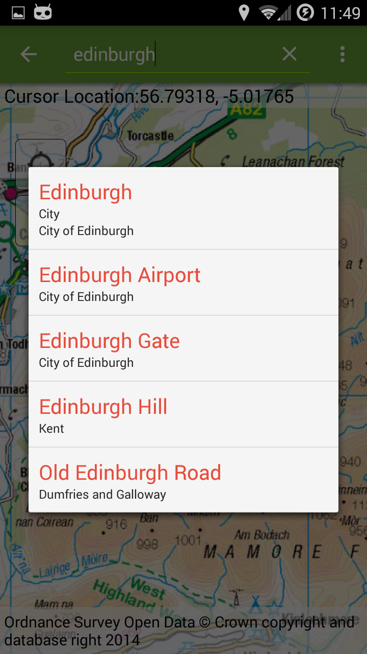
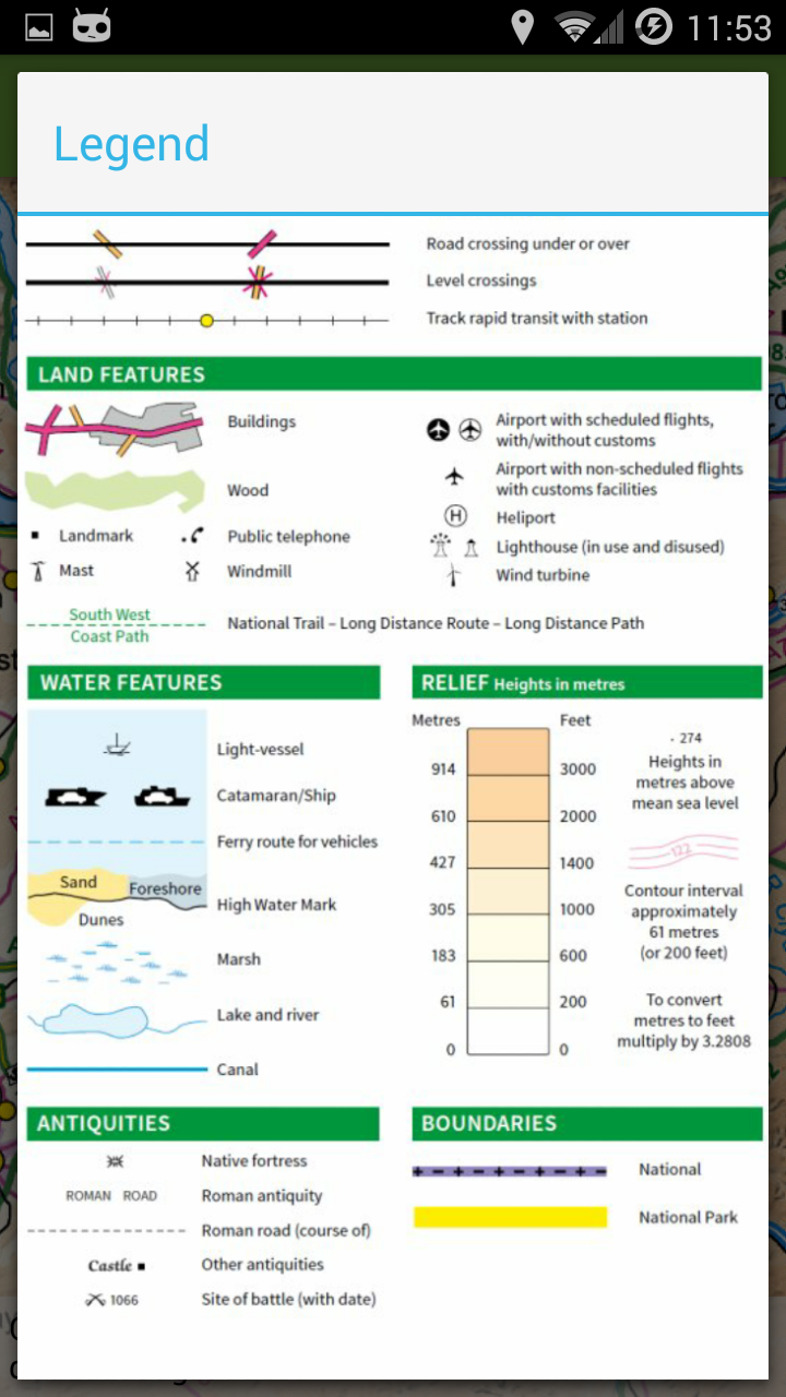
GB Offline Road Map - OS Based
1.0 8
v2.0.0 by Mapit GIS LTD
1.0 8
v2.0.0 by Mapit GIS LTD


Requires Android: Android 4.4+
Architecture: armeabi, armeabi-v7a, x86
Screen DPI: nodpi
SHA1: 1d828bd9ed29946d420e3e0054c1554e936b9a3f
Size: 30.48 MB
What's New:
Requires Android: Android 4.0+
Architecture: armeabi, armeabi-v7a, x86
Screen DPI: nodpi
SHA1: 21095d3f3c0831635ae8ce04527120b01242c61e
Size: 23.41 MB
What's New:
Package Name:
Category:
Update Date:
2019-05-09
Latest Version:
2.0.0
Need Update:
Requirements:
Android 4.4+
Report:
Prime Video
Watch movies, TV shows, live programming, and sports
9.2 493K+
South Tyrol Travel Guide
Find experiences, explore local advice, and plan your trip with ease.
39
Vision Delivery Route Planner
Scan manifests & optimize multi-stop delivery routes to save time and money.
8.4 172
MapSwipe
Help improve humanitarian responses worldwide from the comfort of your own phone
9.5 31
CalTopo
Backcountry mapping evolved
9.4 511
Create & share photos, stories, & reels with friends you love
8.0 11M+
Badger Maps - Sales Routing
Route planner app for field salespeople. Save gas, optimize routes, & sell more.
8.0 40
Hulu: Stream TV shows & movies
Watch TV series, stream the latest live sports & download movies you love
9.1 158K+
Walmart: Shopping & Savings
Groceries, essentials & more, delivered fast.
9.4 515K+
Mapit GIS - Map Data Collector
GPS and Map based field's surveys - Mobile GIS, Data Collection and Measurements
8.0 248
MapPad GPS Land Surveys
Measure distance and area using map or GPS - share your results the easy way…
6.4 247
Mapit Spatial - GIS Collector
Measure distance and area using map or GPS - share survey results with a team.
8.6 16