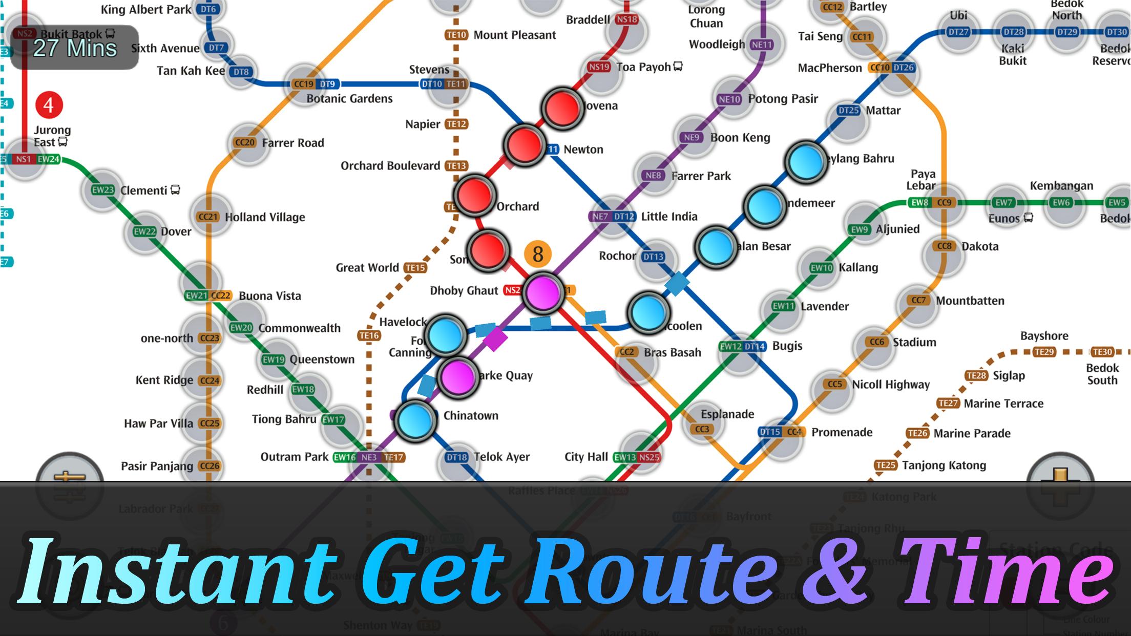
Singapore MRT Mappa Itinerario
8.8 331
v2.9.0 por momoStorm Entertainment
8.8 331
v2.9.0 por momoStorm Entertainment


Requires Android: Android 6.0+
Architecture: arm64-v8a
Screen DPI: 120-640dpi
SHA1: 06cd1e0f5745819bece208a7b543367ef5cce38a
Size: 45.92 MB
Requires Android: Android 6.0+
Architecture: arm64-v8a
Screen DPI: 120-640dpi
SHA1: d0488d53c4e0524dc96d7ea59b617bf5c2a3475b
Size: 44.39 MB
Requires Android: Android 6.0+
Architecture: arm64-v8a
Screen DPI: 120-640dpi
SHA1: 65d48396b76a6179c51f4dfad2c8359c633e8a4f
Size: 72.16 MB
Requires Android: Android 6.0+
Architecture: arm64-v8a
Screen DPI: 120-640dpi
SHA1: bcc8159503d84a4643c773d341950facdb744ef4
Size: 72.15 MB
Nome do Pacote:
Categoria:
Data de Atualização:
2025-08-13
Última Versão:
2.9.0
Solicite Atualização:
Disponível em:
Requisitos:
Android 6.0+
Denunciar:
Uber - Request a ride
Rideshare, taxi cabs, and more for your airport travels and everyday trips.
8.8 1M+
Yandex Go: Taxi Food Delivery
Passeios de carro e scooter, entrega de itens e comida
9.7 1M+
inDrive: Transporte e Entregas
Entregas ou viagens? Moto ou carro? A alternativa ao táxi para qualquer usuário
9.6 997K+
Waze – GPS e Trânsito ao vivo
Navegue por GPS e receba alertas de segurança e informações sobre o trânsito.
8.3 679K+
Bolt: Pede uma viagem 24/7
Viagens rápidas e económicas
9.6 610K+
Rapido: Book Bike-Taxi & Auto
Viaje com facilidade e preços acessíveis com um Rapido Bike-Taxi ou Auto, a qualquer hora.
9.6 251K+
Epic Cards Battle(TCG)
☆ Batalha Cartões épico permite experimentar batalhas lendárias com amigos! ☆
8.9 8K+
Epic Cards Battle 2
Free Fantasy Strategy TCG Online Game, Battle With Global Players Realtime!
8.2 255
Battle Royale: Sobreviventes
Battle Royale: Sobreviventes é um jogo de sobrevivência top-down shooter pvp
9.9 32