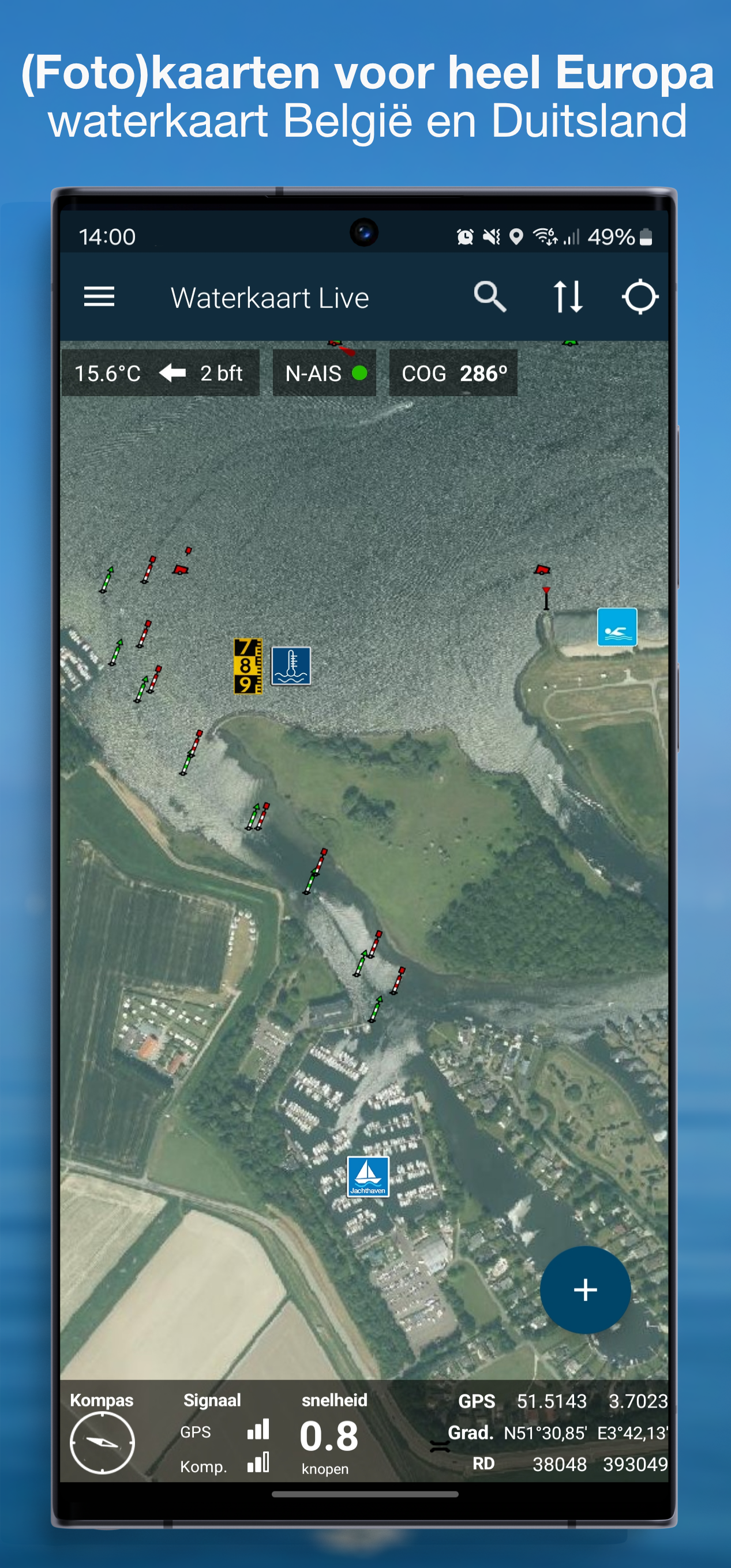
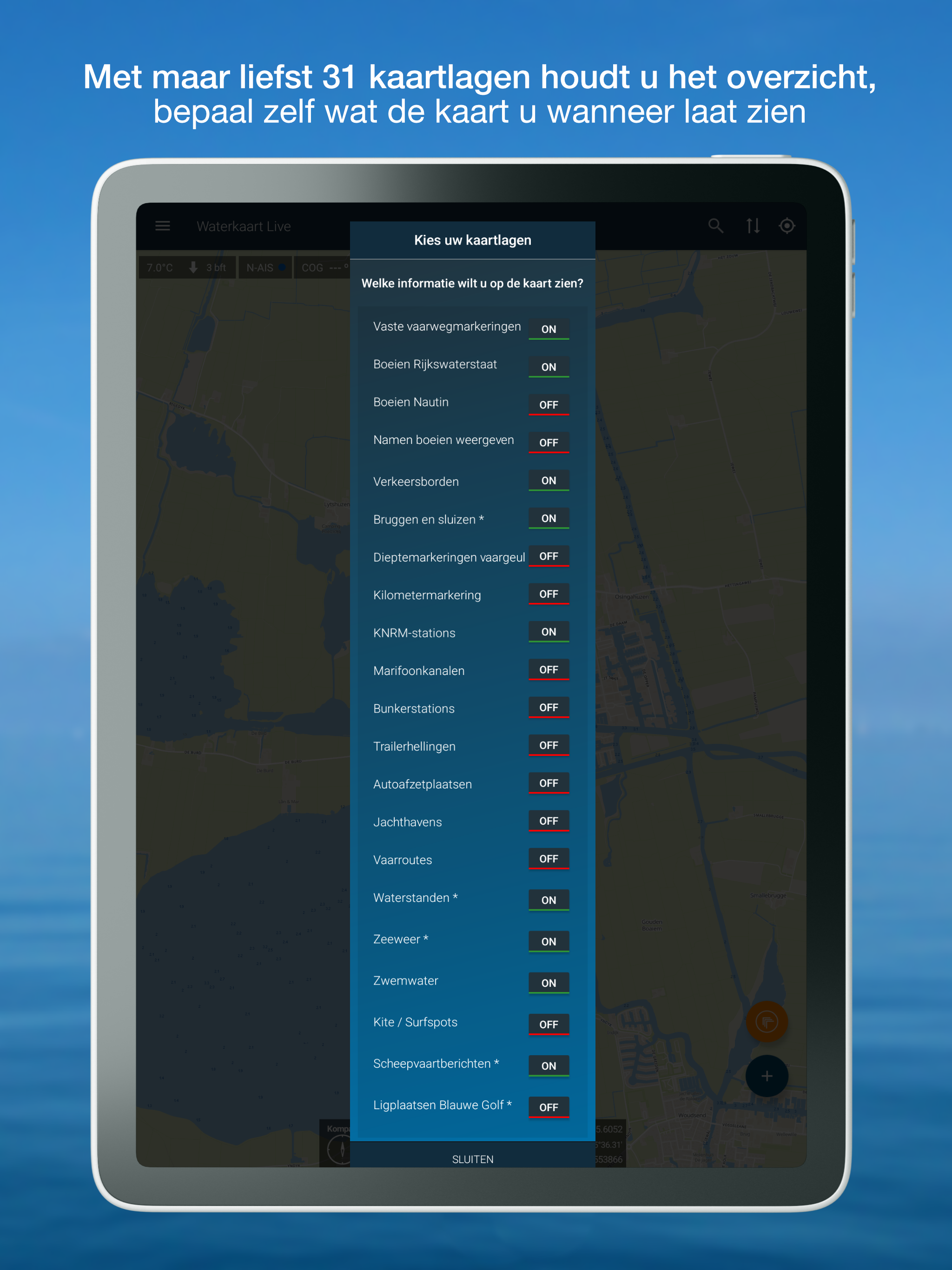
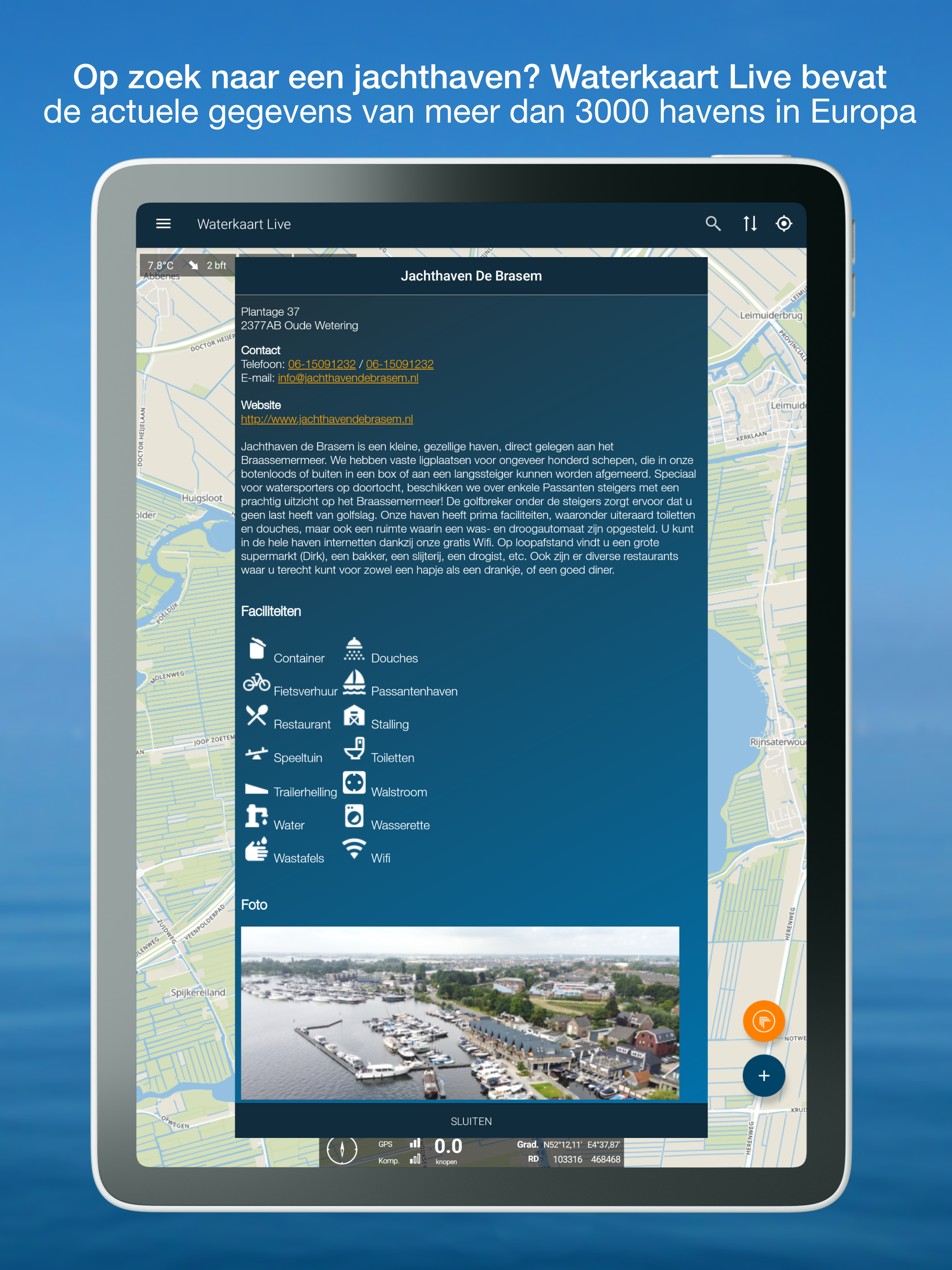
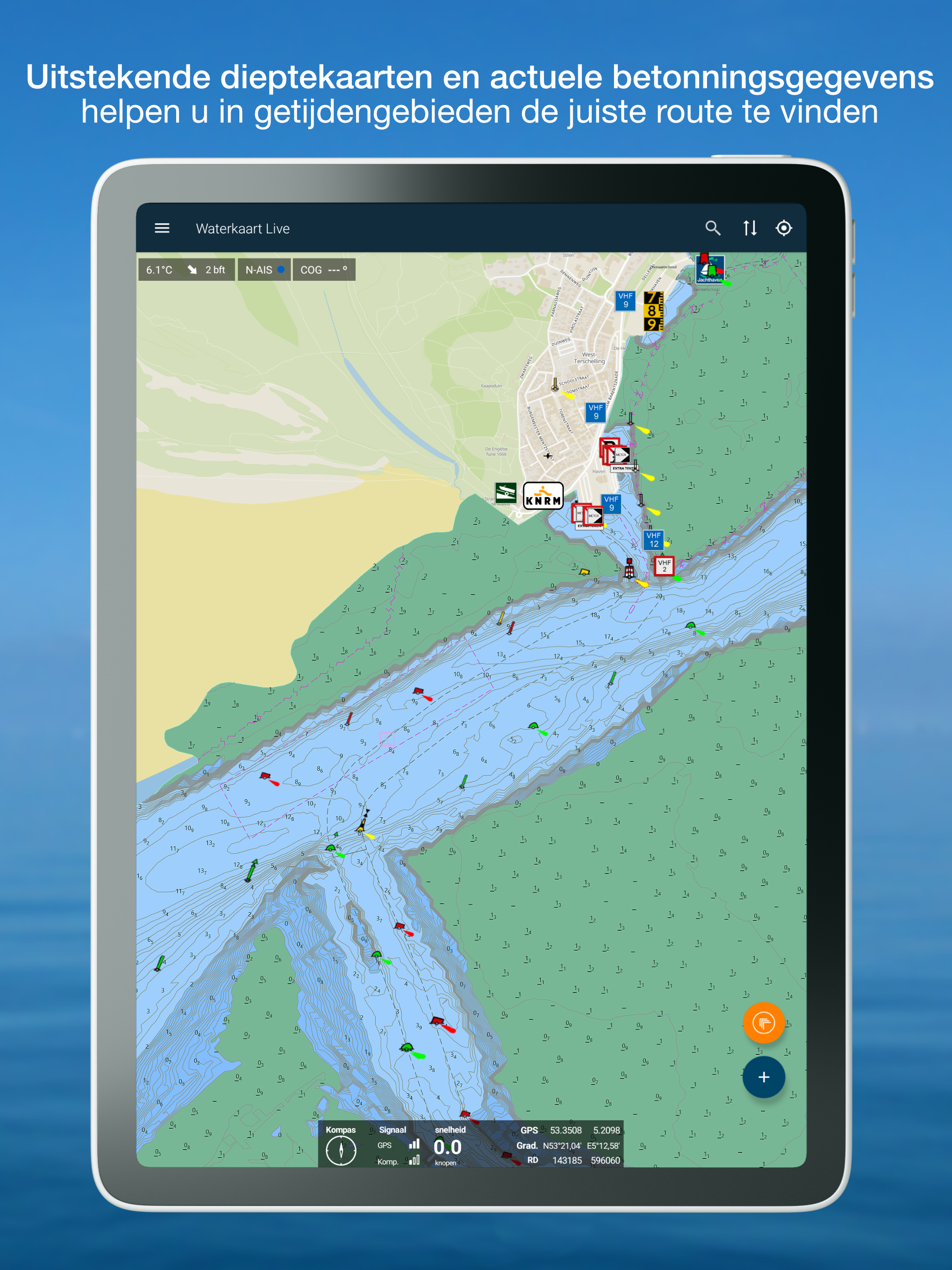
Waterkaart Live - Routes, AIS
5.2 212
v12.0 by Surfcheck


Requires Android: Android 8.0+
Screen DPI: 120-640dpi
SHA1: 57f2d0e531beffba98a378e6ca83f7220d37110a
Size: 88.41 MB
What's New:
Requires Android: Android 8.0+
Screen DPI: 120-640dpi
SHA1: 0ea8bc7842a62b9bb25e92b820d07dab80e82ec7
Size: 93.08 MB
What's New:
Requires Android: Android 8.0+
Screen DPI: 120-640dpi
SHA1: 1e6374572ff1909405a8a1ef27df27a3d88b4dbb
Size: 91.21 MB
What's New:
Requires Android: Android 8.0+
Screen DPI: 120-640dpi
SHA1: 1cee3dfeaf0861a96a4bd843ff986ec182e1122f
Size: 75.92 MB
What's New:
更新日期:
2026-04-17
最新版本:
12.0
請求更新:
Available on:
系統要求:
Android 8.0+
舉報: