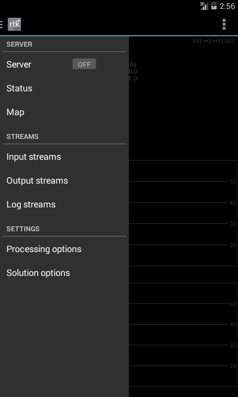
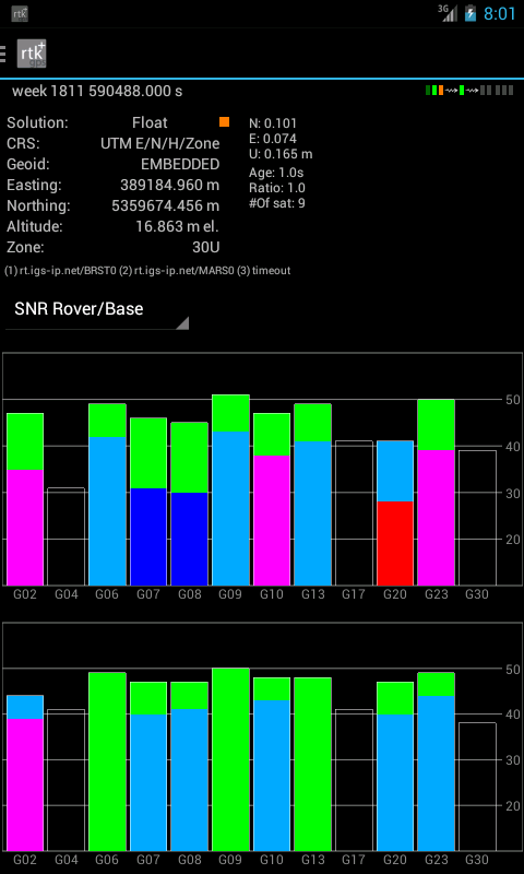
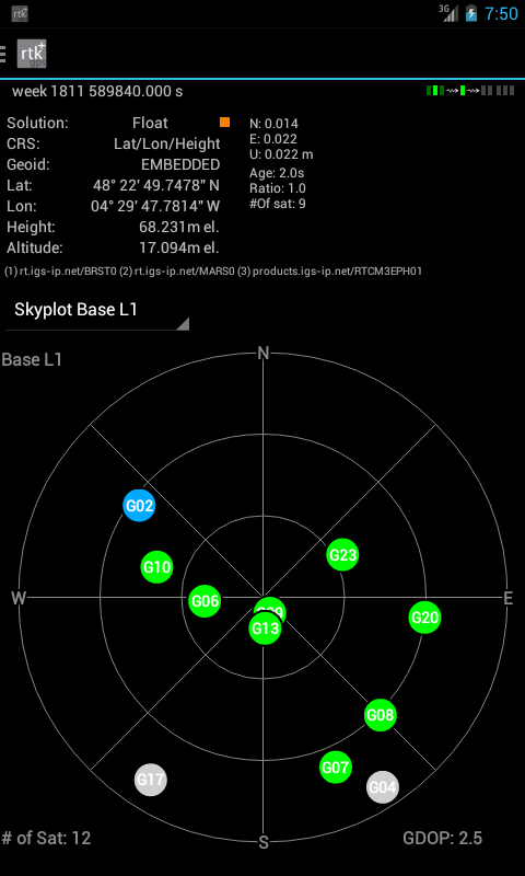
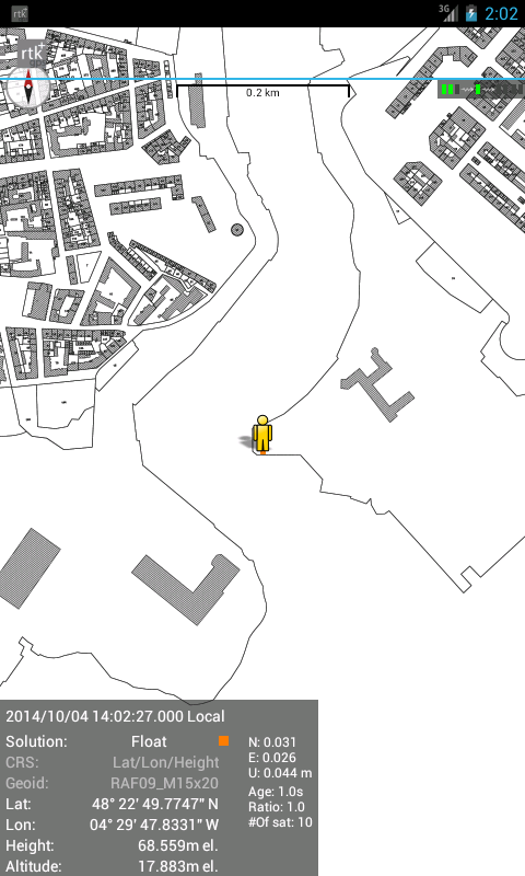
RTKGPS+

9.1 25

v1.0 Alpha 26 by Ronan LE MEILLAT

RTKGPS+ APK 下載 RTKGPS+ APK 下載

關於 RTKGPS+

RTKGPS+(包名:gpsplus.rtkgps)開發者是Ronan LE MEILLAT,RTKGPS+的最新版本1.0 Alpha 26更新時間為2018年08月29日。RTKGPS+的分類是生產應用。您可以查看RTKGPS+的開發者下的所有應用並找到RTKGPS+在安卓上的112個相似應用。目前這個應用免費。該應用可以從APKFab或Google Play下載到Android 5.0+。APKFab.com的所有APK/XAPK文檔都是原始文檔並且100%安全下載的資源。
+++++++++++++ DISCLAIMER ++++++++++++++
THIS IS AN ALPHA VERSION
I received some requests to move it to a production
version, for my point of view it works but this version
lacks some extensive tests.
However I changed it to public with this disclaimer.
IT IS PROVIDED AS IS...
WITHOUT ANY WARRANTY.
++++++++++++++++++++++++++++++++++++++
Android RTKLIB frontend.
source code can by downloaded on https://github.com/eltorio/RtkGps
Heavily based on RtkGps from Alexey Illarionov, this is a fork of his work. He allows explicitly to modify and redistribute his work only with the distribution his copyright. You'll find the original license in the "About/Legacy Info" screen. Thanks to all contributors to respect this original license clause.
Since there is no new version I reworked the code for adding some features I need:
1- show the altitude in the status view.
for activating this you need to choose Height:Geodetic in the "Solution Options" view
2- send mock locations to other applications.
for activating this you need to check in the "Solution Options" view Output GPS mock locations, but this is only working if you have allowed "mock locations" in the developer settings (in Android setting).
today (in 1.0alpha13) the mock locations are not usable in the Google map API.
3- automatically upload log file or solution file to your Dropbox account
4- can generate a gpx file of the track
5- can display the result in ECEF, WGS84 Lat/Lon, NAD83, Lambert 93 (RGF93) or UTM (with auto zoning) coordinate system
5b- use any Proj4 projection
6- can display ellipsoidal height or geodetic altitude (different geoid models can be use see: https://github.com/eltorio/RtkGps for how to install a geoid model)
7- use any RTKLIB compliant GNSS with raw output connected via USB (ACM/PL2303/FTDI), Bluetooth, TCPIP or NTRIP
8- can display some maps coming from IGN Geoportail (cadastral parcels, satellite, roads), OpenStreetMap Mapnik, Bing (satellite, roads).
9- can download and use IGS ultra-rapid ephemeris
This software is a port of RTKLIB 2.4.2p9 developed by Tomoki Takasu (http://www.rtklib.com), if you do not know what this application is; this application is probably not what you are looking for!
This application can compute precise GPS positions using RTKLIB algorithms (RTK or PPP) but for this you need a supported -external- GPS with raw carrier phase output.
This is not a "standard" GPS like those embedded into your phone or your car, the cheapest one you can find is something like uBlox LEA-6T .
THERE IS NO WAY to use the GPS found in Samsung Galaxy(s) nor any phone I seen.
But there is a special test mode witch use the internal GPS for testing only, obviously none of the precision algorithm found in RTKLIB can be use.

RTKGPS+ 1.0 Alpha 26 更新

see https://github.com/eltorio/RtkGps
查看更多
RTKGPS+ 資訊
歷史版本 更多
RTKGPS+
RTKGPS+ 1.0 Alpha 26 APK
2018年09月01日 41.23 MB

Requires Android: Android 5.0+

Architecture: arm64-v8a, armeabi-v7a, x86, x86_64

Screen DPI: 120-640dpi

SHA1: d2d3328a841681a4a07067fef6f7ebbd9301bb0c

Size: 41.23 MB

What's New:

see https://github.com/eltorio/RtkGps
RTKGPS+
RTKGPS+ 1.0 alpha 23 APK
2015年08月21日 14.2 MB

Requires Android: Android 4.0+

Architecture: armeabi, armeabi-v7a, mips, x86

Screen DPI: 120-480dpi

SHA1: 003607d5ff94dec726f7aedf33d3c34ddc8000ef

Size: 14.2 MB

What's New:

* support for sending to a ntrip caster
* support for special characters in NTRIP username and password
* Spanish translation (thanks to Enoc Sanz Ablanedo for its contribution)
* Polish translation (translated by Tomasz Robak)
* German translation (translated by Hagen Felix)
更多資訊

包名:

gpsplus.rtkgps

更新日期:

最新版本:

1.0 Alpha 26

請求更新:

提交最新版本

系統要求:

Android 5.0+