關於 GPS-Tracks
GPS-Tracks(包名:com.GPSTracks)開發者是GPS-Tracks.com,GPS-Tracks的最新版本2.50更新時間為2017年11月21日。GPS-Tracks for Android的分類是旅遊與地方資訊。您可以查看GPS-Tracks for Android的開發者下的所有應用。目前這個應用免費。該應用可以從APKFab或Google Play下載到Android 2.1+。APKFab.com的所有APK/XAPK文檔都是原始文檔並且100%安全下載的資源。
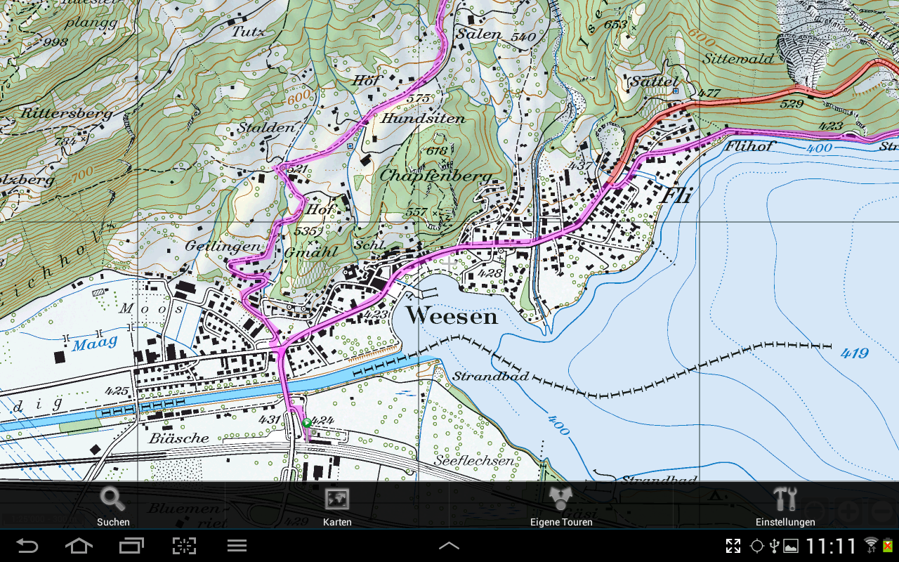
Multimedia-Tour guide with Topo maps for the european alpine region. GPS-Tracks for Android is designed for the application at hiking, theme trails, GEO-caching, cycling, snow trail tours, ski tours, MTB, site seeing tours, etc.
Runs on:
All Android-Phones from version 2.1.
Attention:
If the App is moved to the background, the GPS-receiving continues. This can quickly discharge the battery.
Features:
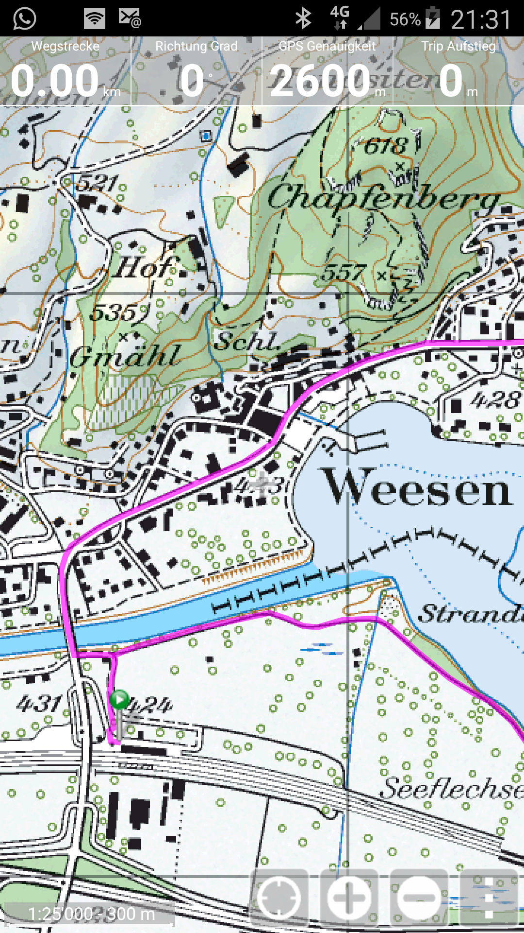
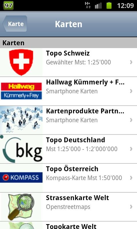
- Original, free Topo maps from scale 1:25'000 for Switzerland, Germany and Austria. Openstreetmaps and Opencyclemaps for worldwide use.
- Complete footpath, cycling and further networks to overlay the maps. Examples: footpath network Switzerland, cycling network Switzerland and South Germany, ....
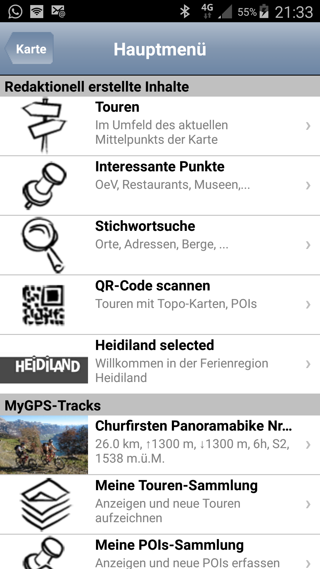
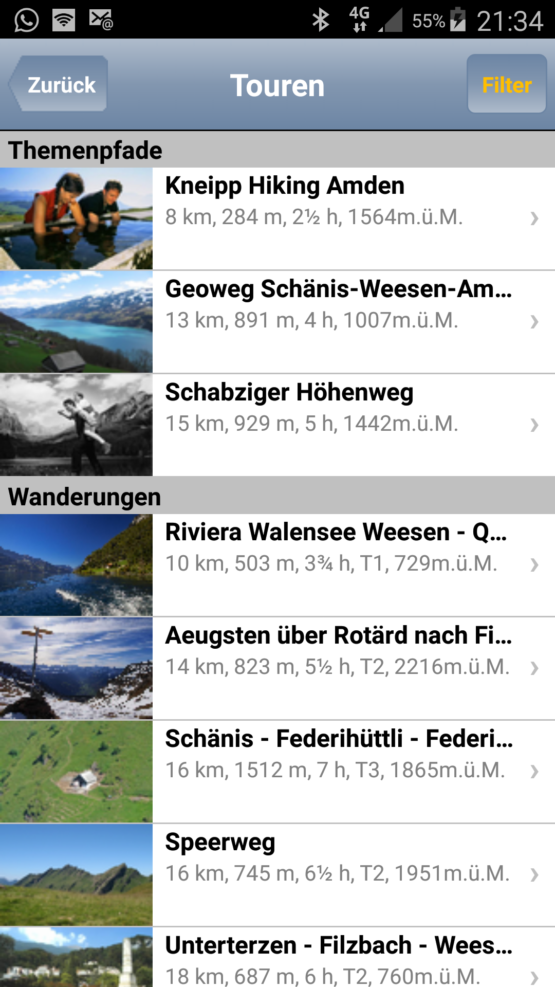
- «Top of»-routes: Integrated Tour-guide with over 7500 professional created routes in the field of hiking, theme trails, cycling, mountainbike, ski tours, snow trail tours, transalp, etc. Following the principle: just the best routes of the region!
- Over 250'000 Points of interests, like hotels, museums, sights, ... – provided by our tourism-partners.
- Routing via leisure-path networks e.g. from point A to point B via footpaht network.
- Free text search in all databases. E.g. for mountain names, locations, addresses, etc. Alignment oft he map on these points.
- Recording of your own routes and waypoints and saving them on the phone or on www.GPS-Tracks.com.
- Revolutionary: With a free account on www.GPS-Tracks.com you can plan your routes (using the whole assortment of Topo- and satellite maps) and transfer them to the phone without any installation of software or maps. You do not need to connect the phone to the computer. Plan routes unlimitedly and recall them anytime and anywhere.
- All routes, POI's and maps can be saved on the phone (in case there is no telephone connection on the way).
- Simple user guidance: without initial effort or previous knowledge easily operated.
Important:
- All data can be saved on the phone. You can e.g. transfer data at home on a WiFi network to your phone and hence will be independent of a data connection on the way. If additional data is loaded through the internet connection on the way, we recommend to open a data subscription at your telecommunications provider. 30 MB per month are enough for that purpose. For a route Tour incl. all map data approx. 3 MB are loaded.
This App and its content were developed with the support from i.a.:
- Adelboden / Frutigen Tourismus
- Allgäu Tourismus
- Brigels Tourismus
- Colltex Skihaftfelle
- Chur Tourismus
- Davos Klosters Tourismus
- Swiss Cyling - Schweizerischer Radfahrerbund
- Engadin- St.Moritz Tourismus
- Entlebuch Unesco Biospärenreservat
- Fribourg Tourismus
- Heidiland Tourismus
- Jungfrau-Tourismus
- Vierwaldstättersee / Lakeluzern.ch Tourismus
- Lenzerheide Tourismus
- Liechtenstein Tourismus
- Luzern Tourismus
- Schweizerischer Alpen-Club SAC
- Schaffhauserland Tourismus
- St.Gallen Business Location
- Meiringen-Hasliberg
- Regiun Surselva
- Ticino Tourismus
- Viamala Tourismus
- Region Willisau
- Stadt Winterthur
- Zürichsee Tourismus
- Zug Tourismus
- Bad Zurzach
GPS-Tracks 2.50 更新
The entire Swiss mountain bike network. Supplemented with all marked national and regional MTB routes from SwitzerlandMobility.
The colour corresponds to the combination of the steepness of the path and its characteristics in the corresponding section.
查看更多