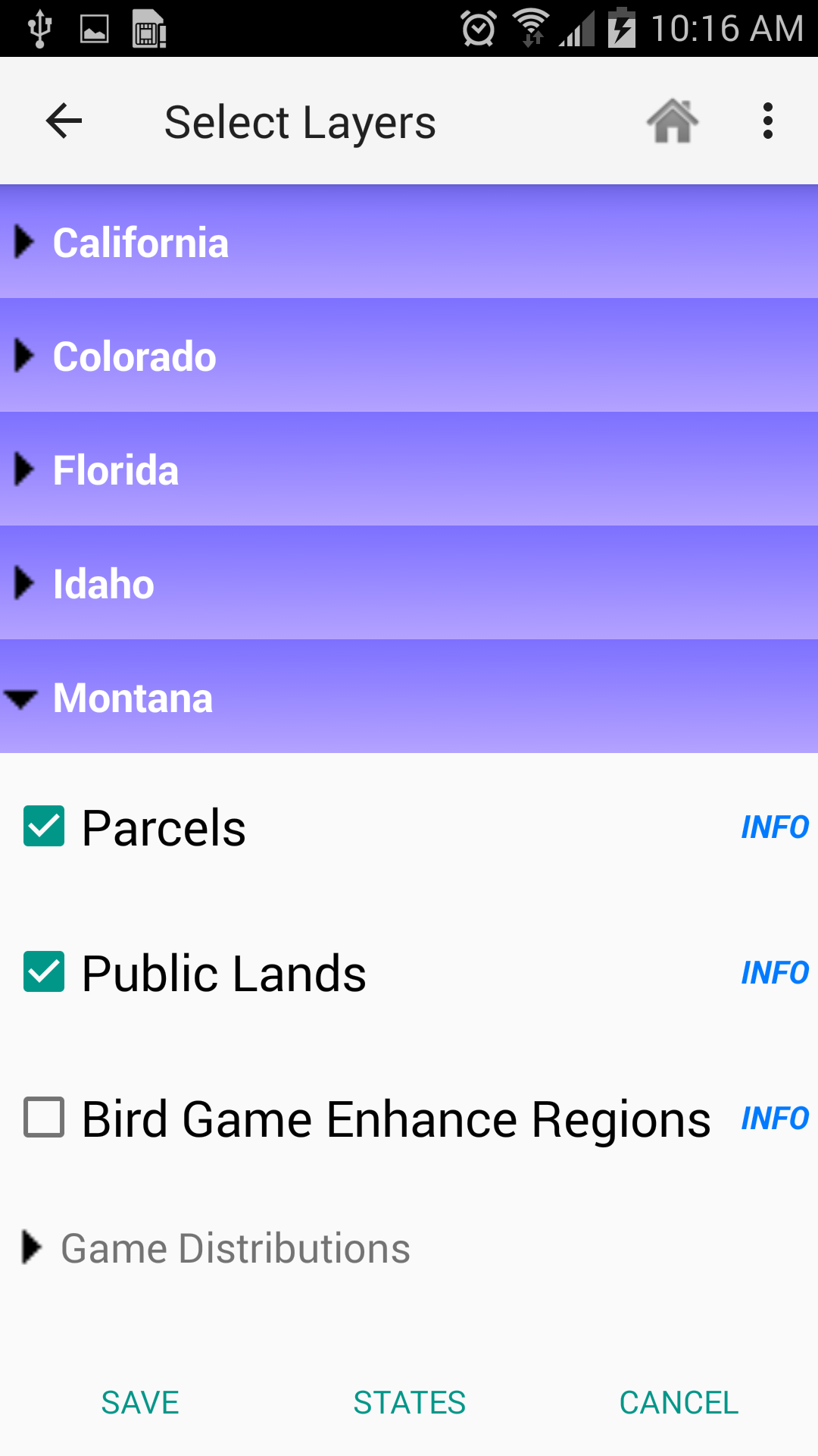
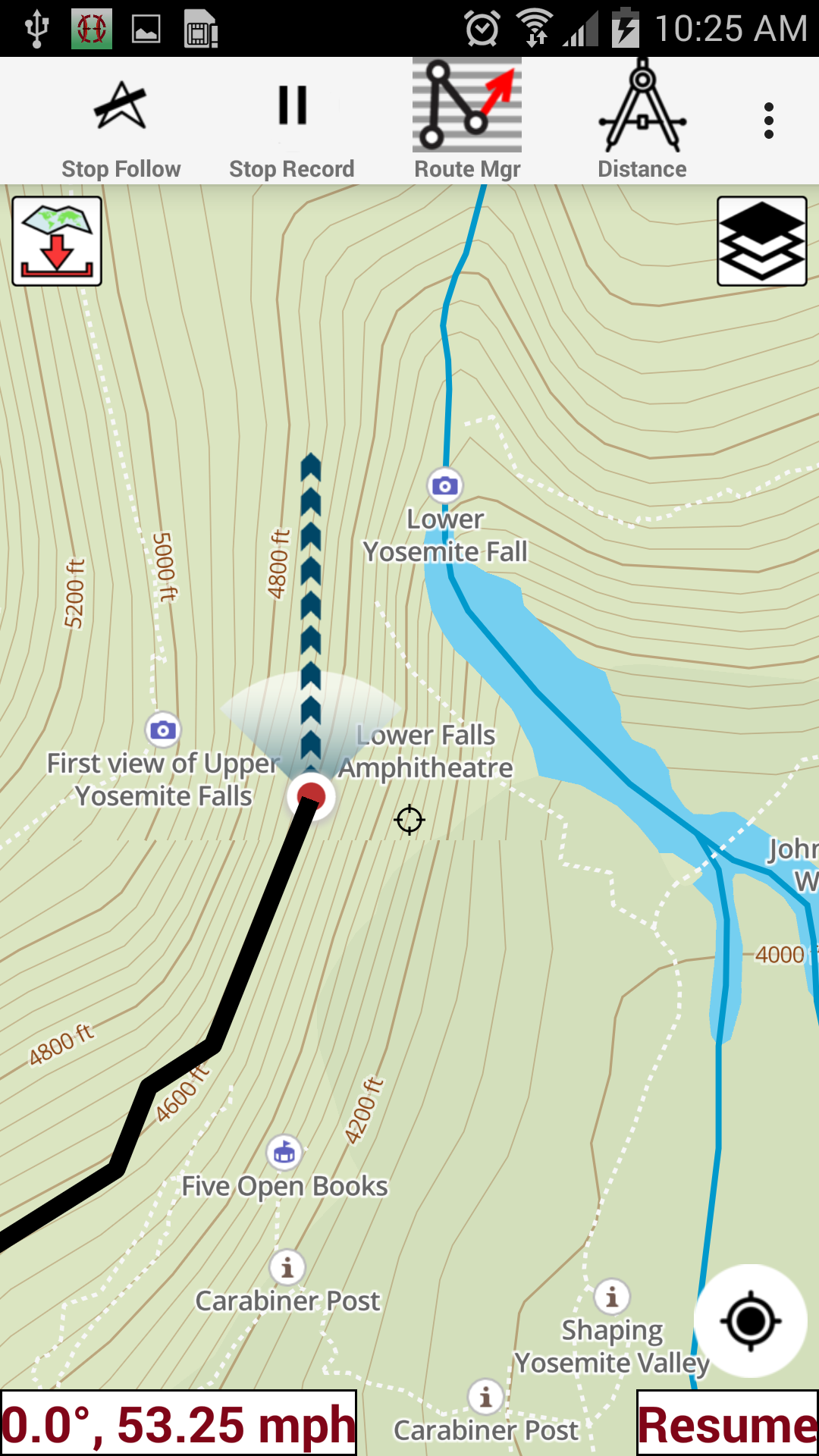
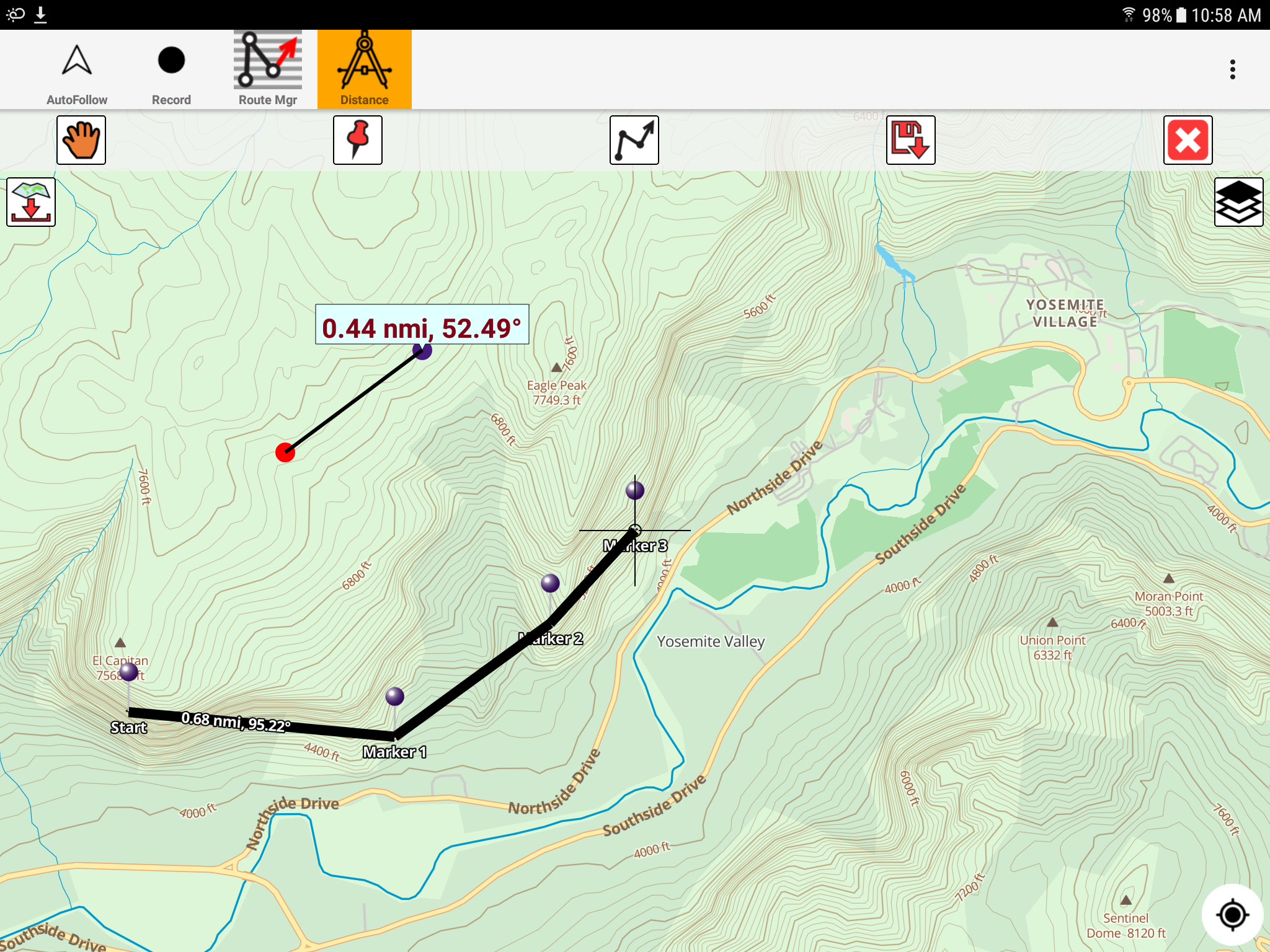
Hunting Gps Maps w/ Property L
7.0 47
v177.0 por Gps Nautical Charts
7.0 47
v177.0 por Gps Nautical Charts


Nombre de paquete:
Categoría:
Fecha de actualización:
2023-10-10
Última versión:
177.0
Pedir actualización:
Disponible en:
Requisitos:
Android 5.0+
Denunciar:
Indeed: Búsqueda de empleo
Ayudamos a las personas a conseguir empleo
9.4 886K+
Microsoft Teams
Chatee, reúnase y colabore para lograr más juntos. Todo en un lugar en Teams
9.3 579K+
Meta Business Suite
Conecta con los clientes más importantes para tu empresa con Meta Business Suite
9.2 434K+
LinkedIn: Red Profesional
LinkedIn es una plataforma diseñada para permitir la búsqueda de empleo.
7.8 267K+
Escáner a PDF - TapScanner
¡Escanee documentos a PDF con su dispositivo móvil!
9.0 290K+
Microsoft Authenticator
Sin contraseñas, inicio de sesión más fácil y mayor protección de sus cuentas.
9.4 273K+