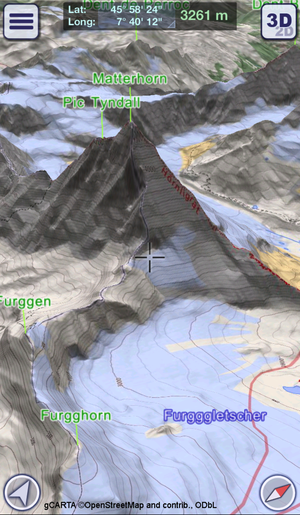
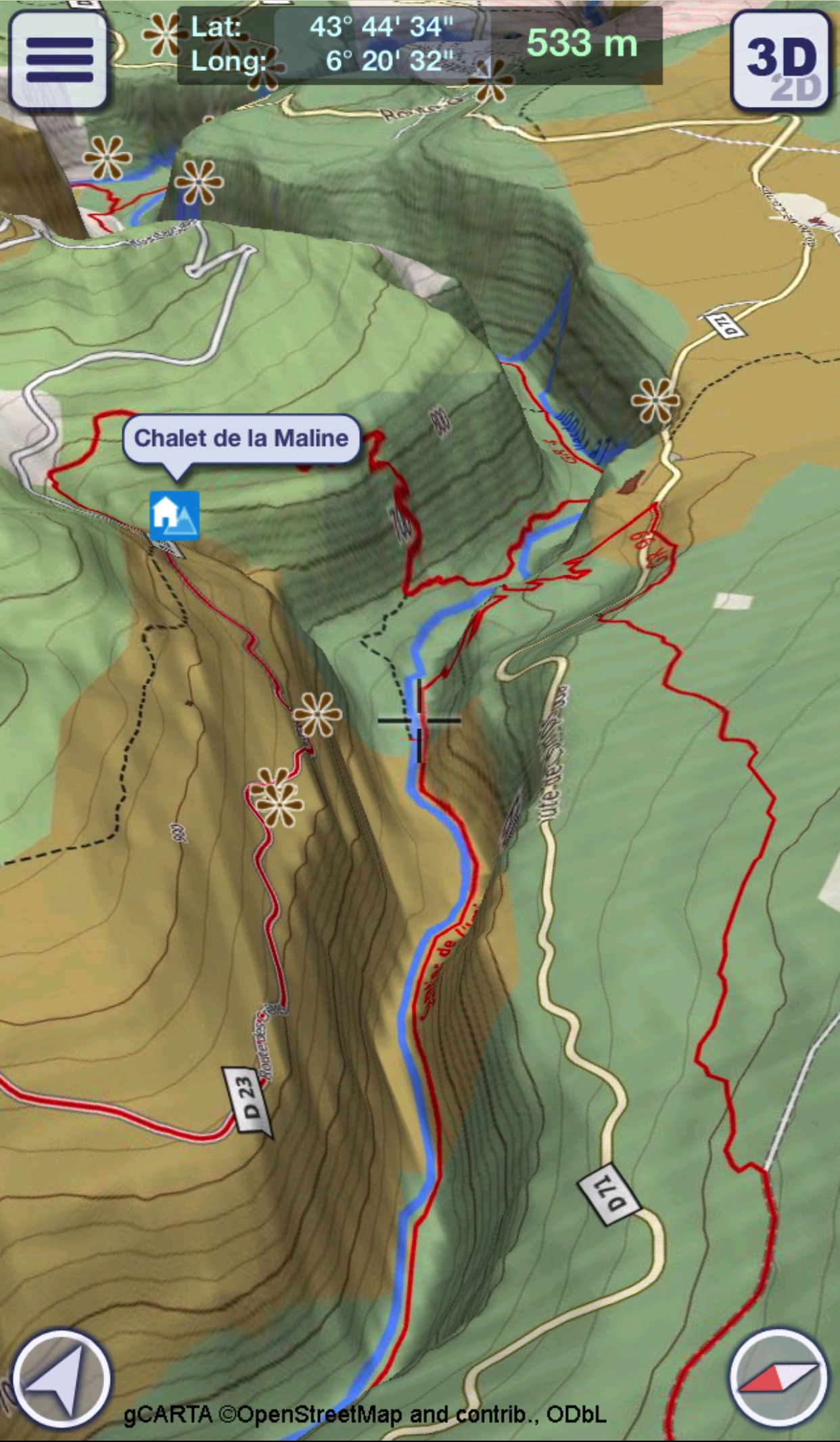
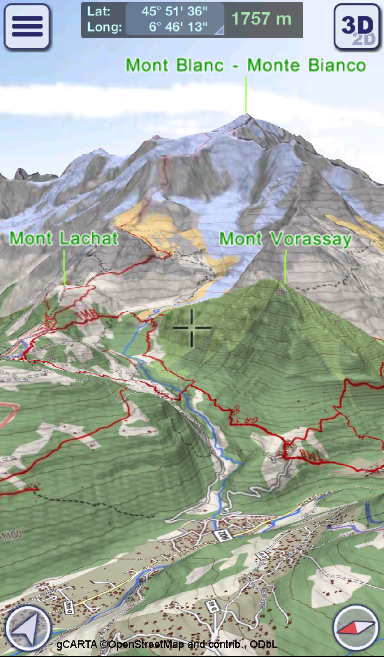
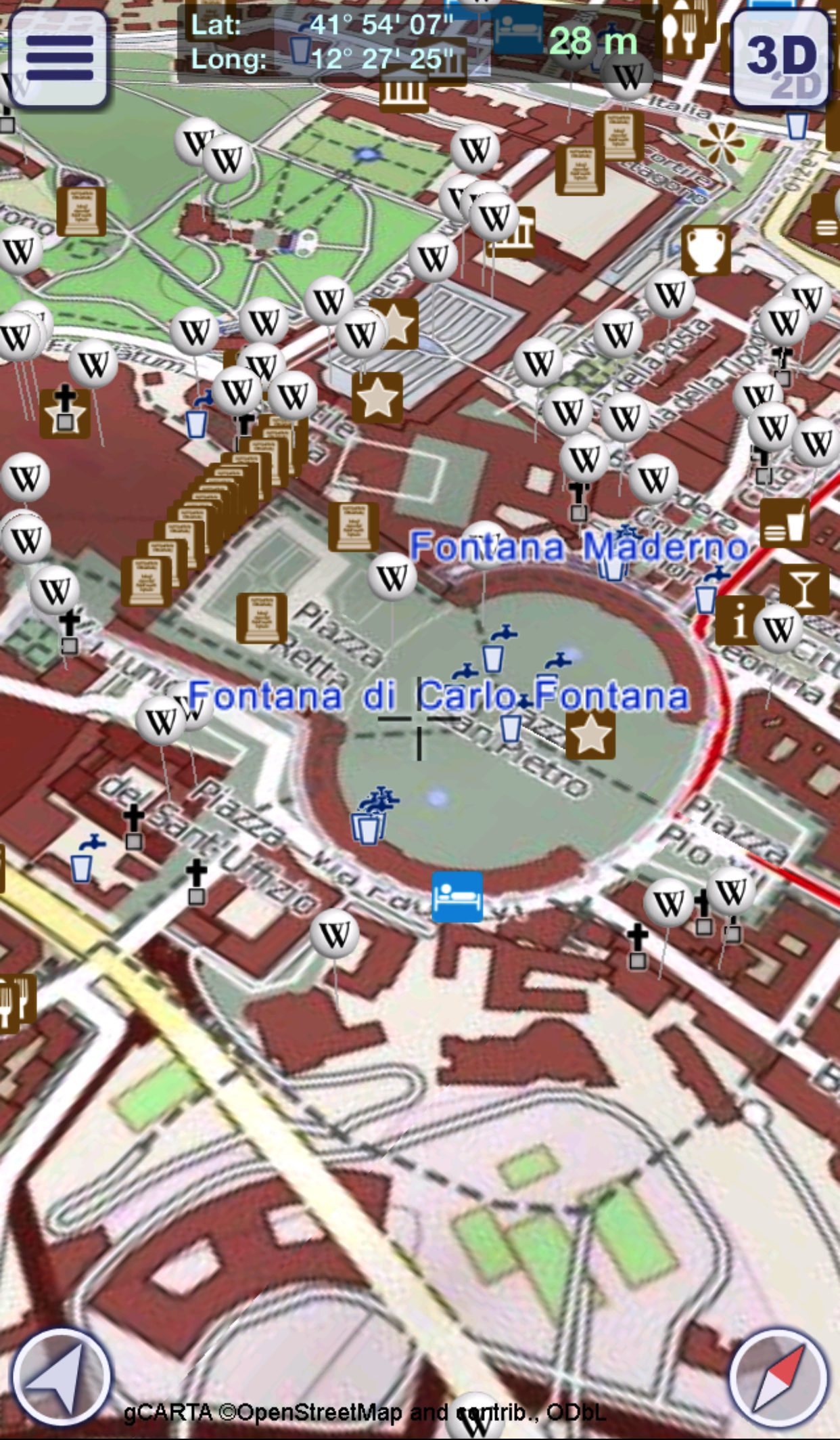
GeoFlyer Europe 3D - Offline Maps GPS Routing
8.3 72
v2.2.1 por GeoMind
8.3 72
v2.2.1 por GeoMind


Requires Android: Android 4.2+
Architecture: arm64-v8a, armeabi, armeabi-v7a, mips, mips64, x86, x86_64
Screen DPI: 120-640dpi
SHA1: 294c676ad66b0885c93ee2c73bda7dcd1b03612c
Size: 69.52 MB
What's New:
Requires Android: Android 4.2+
Architecture: arm64-v8a, armeabi, armeabi-v7a, mips, mips64, x86, x86_64
Screen DPI: 120-640dpi
SHA1: 52600bbf68ae9cc7cfd839965069df419262d6d8
Size: 69.92 MB
What's New:
Requires Android: Android 4.2+
Architecture: arm64-v8a, armeabi, armeabi-v7a, mips, mips64, x86, x86_64
Screen DPI: 120-640dpi
SHA1: 6d6eb20dd67fa4608e0be75a9934b9dc42fa8b2d
Size: 70.58 MB
What's New:
Requires Android: Android 4.2+
Architecture: arm64-v8a, armeabi, armeabi-v7a, mips, mips64, x86, x86_64
Screen DPI: 120-640dpi
SHA1: 69bb885cb0f88361a686a3e88e3b134635c6575c
Size: 70.58 MB
What's New:
Nome do Pacote:
Categoria:
Data de Atualização:
2018-05-25
Última Versão:
2.2.1
Solicite Atualização:
Requisitos:
Android 4.2+
Denunciar: