Green Tracks (Package Name: com.mountain.tracks) is developed by Sky Wang and the latest version of Green Tracks - hiking partner V10.7.1 was updated on April 10, 2024. Green Tracks - hiking partner is in the category of Travel & Local. You can check all apps from the developer of Green Tracks - hiking partner and find 200 alternative apps to Green Tracks - hiking partner on Android. Currently this app is for free. This app can be downloaded on Android 5.0+ on APKFab or Google Play. All APK/XAPK files on APKFab.com are original and 100% safe with fast download.
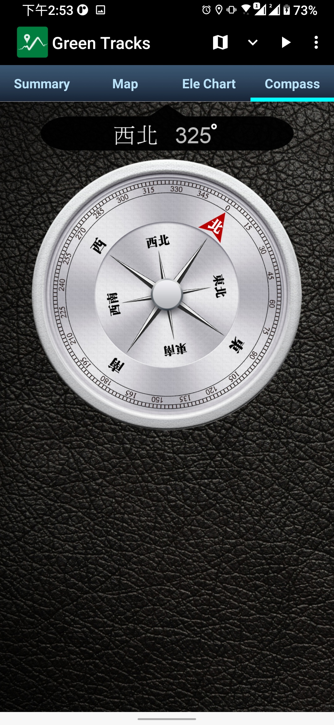
The core function of Green Tracks reads and analyzes the GPX, KML, KMZ and other track files in the mobile phone, and draws the analyzed content on the map. With the GPS satellite positioning, the user can know where he is in the track line. Reduce the risk of getting lost and can be used as a reference for outdoor activities such as mountain climbing and hiking. •Supports Mapsforge offline map files You can download the OpenAndroMaps world map directly in Green Tracks. •Offline search Install Mapsforge's POI file to search for points of interest offline. •Supports offline maps in MBTiles format Users can use Mobile Atlas Creator (MOBAC) to create MBTiles offline maps and select the MBTiles SQLite format. For offline map production methods, please refer to https://sky.greentracks.app/?p=2895 •Online map You can use Google Road Map, Google Satellite Map, Google Hybrid Map, Google Terrain Map. •Record tracks Use Green Tracks to record your own journey. The recorded track lines can also be edited or merged, and the records can be saved in file formats such as GPX, KML or KMZ through the export function. •Supports various types of track file formats Green Tracks can parse track files in GPX, KML, KMZ and other file formats and display them on the map. •Route planning Supports BRouter, you can plan routes in Green Tracks and export them as GPX, KML or KMZ. •Automatically return coordinates By automatically returning coordinates or manually returning coordinates (network signal is required), those left behind can keep track of the traces at any time. •Mark location The coordinates reported by family members or friends can be marked on the map automatically or manually, making it easier to track their whereabouts. •Coordinate conversion WGS84 coordinate format conversion and TWD67, TWD97, UTM and other geodetic datum conversions. •Off-track Alarm During the process of recording the track, combined with the GPX file, you can use this function to avoid taking the wrong path. •Backup and restore Backup and restore self-recorded track records. •Backup track files Use \"Backup\" to compress all GPX, KML, KMZ and other types of files in your phone into .zip files for easy replacement of new phones or sharing with other users.
The backed up .zip file can be decompressed through the file management on the phone, or decompressed to the /Download/GTs/ folder on the phone through \"Restore\". •Support HGT files The HGT elevation file can be used to correct the altitude and improve the accuracy of the altitude. •Photo map Scan the photos on your phone and display them on the map to recall all the memories you took when you took them. •Share your tracks You can share your GPX records with other users, or download GPX files for tracking. • Screenshot Take screenshots of the "Summary", "Map" and "Ele Chart" of the walking track and collage them into one photo for easy sharing on various online platforms. •Supports overlapping maps Green Tracks supports offline maps stacked on top of online maps, and offline maps stacked on top of offline maps. •Supports Google Earth tour files The records of the Green Tracks can be exported to kml or kmz files and provided with Google Earth Pro version (PC version) to record dynamic track videos. Video reference https://youtu.be/f-qHKSfzY9U?si=MO7eQQVSHEyZ57DK Our website https://en.greentracks.app/
Green Tracks V10.7.1 Update
1.Get rewards for watching videos. Watch a few rewarded ads in exchange for an ad-free period. 2.Other bug fixes.
1. Adjust the "share gpx file" preview screen. 2.Select the file interface to synchronize, including "Open track file", "Share gpx file" and export "My track record". 3. A elevation chart is added to the lower left corner of the Google Earth tour file. 4. If you long click the map to add a waypoint when editing records, the waypoint time will be taken from the time of the track point within 10 meters from the track line. 5. A new timing format is added to the default name of the waypoint.
APKFab.com and the download link of this app are 100% safe. All download links of apps listed on APKFab.com are from Google Play Store or submitted by users. For the app from Google Play Store, APKFab.com won't modify it in any way. For the app submitted by users, APKFab.com will verify its APK signature safety before release it on our website.